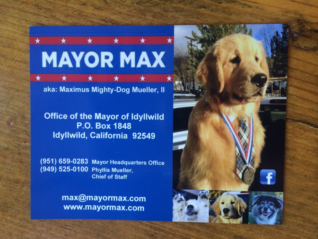
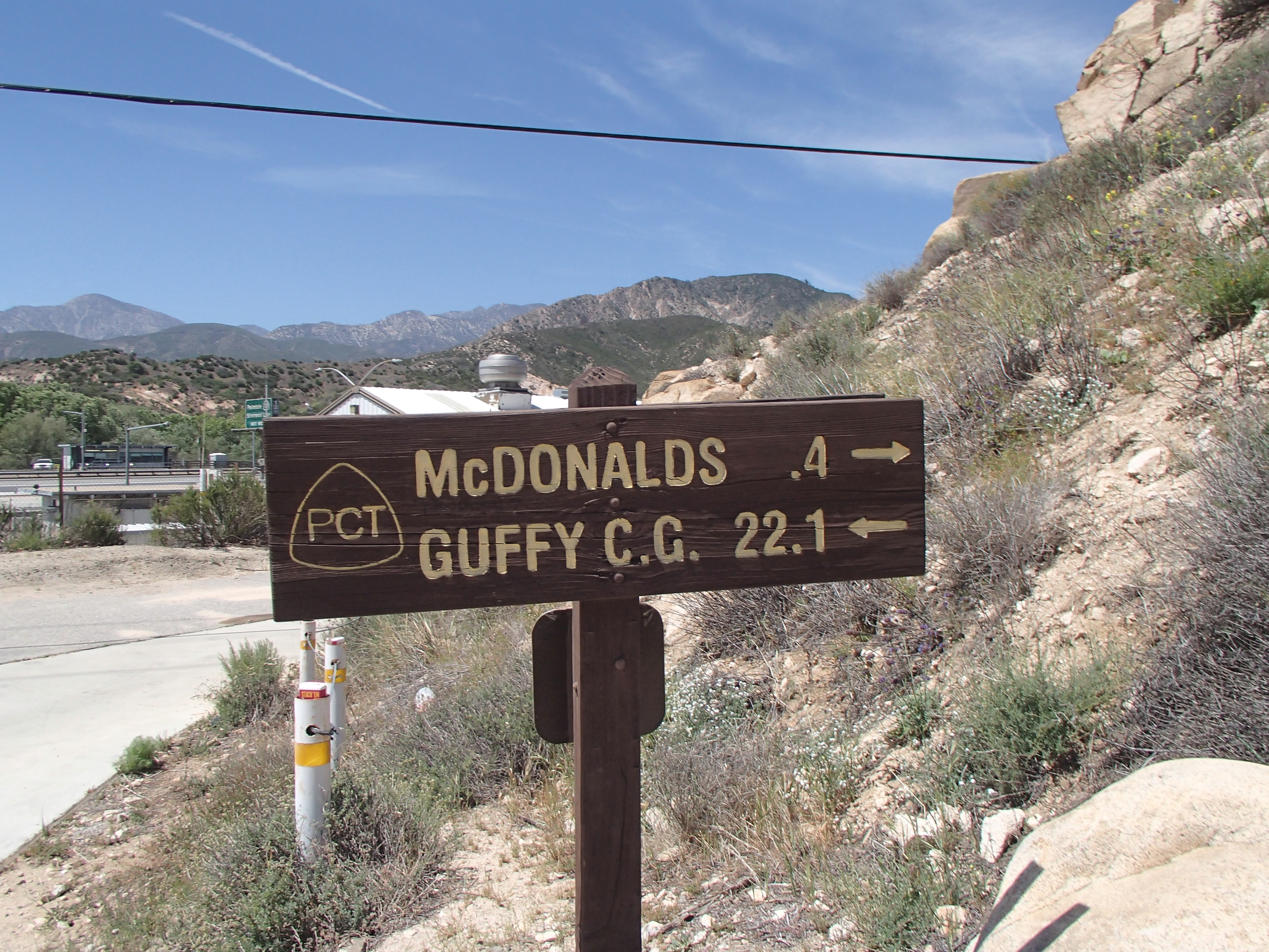
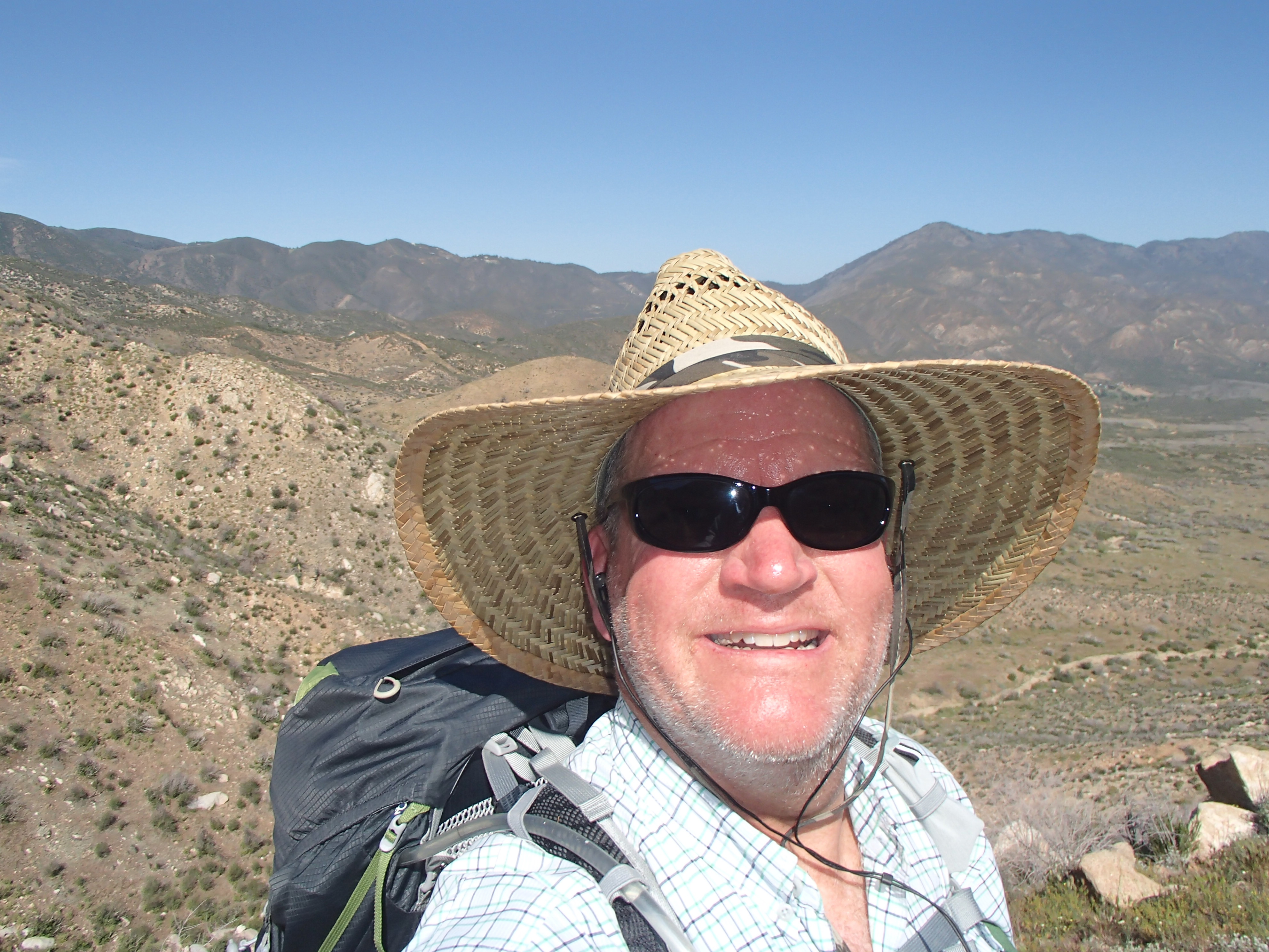
Hello from Cajon Pass. I’m at mile 342 and things are going great! Most days I’m already hiking 20 or more miles. Before I get started, I need to back up to Idyllwild and tell you that not long after I made my last post, I met the Mayor of Idyllwild! Mayor Max is probably the nicest politician I’ve ever met. He’s a fine young man. They say in Idyllwild that they take their politics seriously! I love it…what a great mayor!
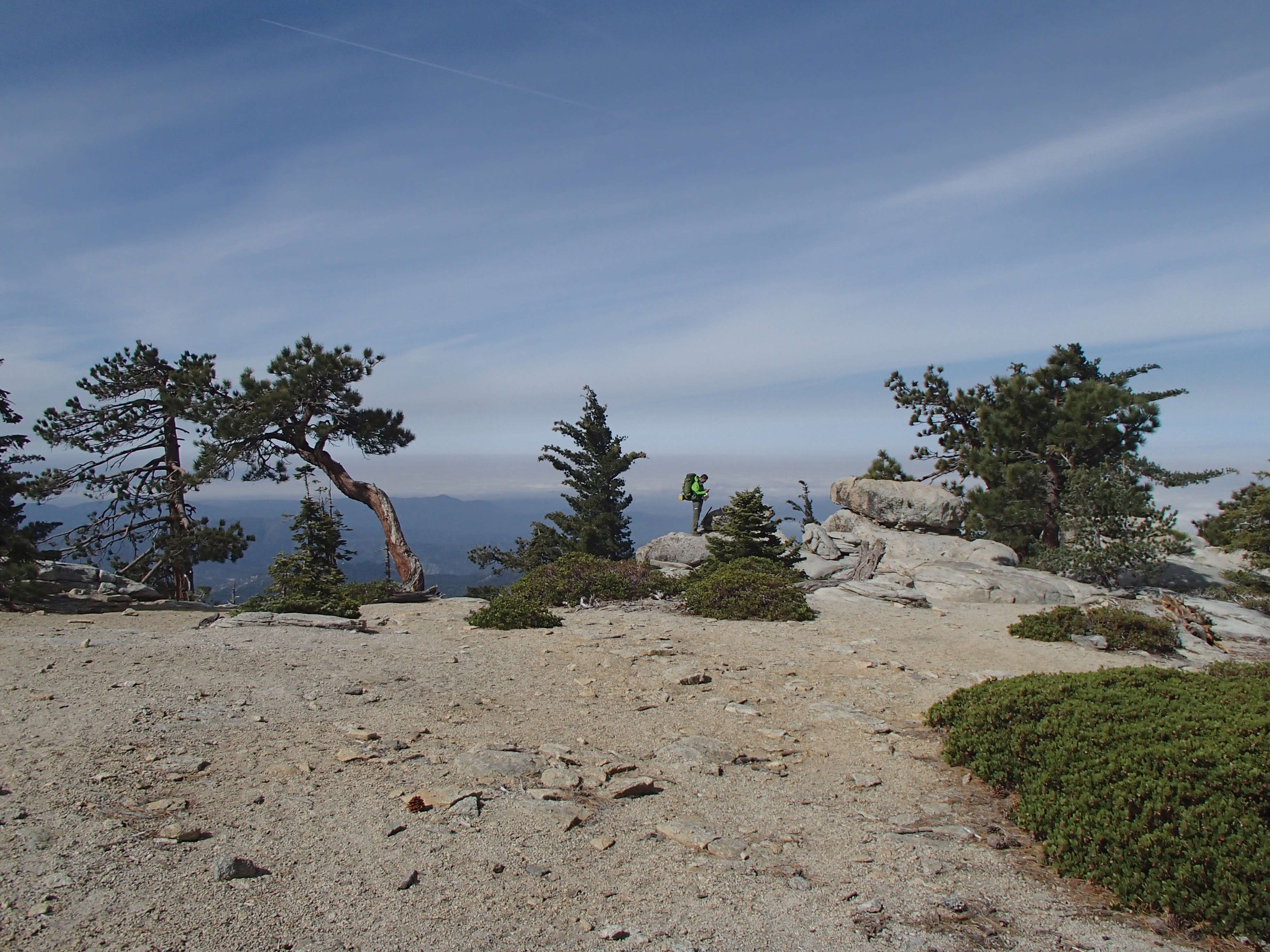
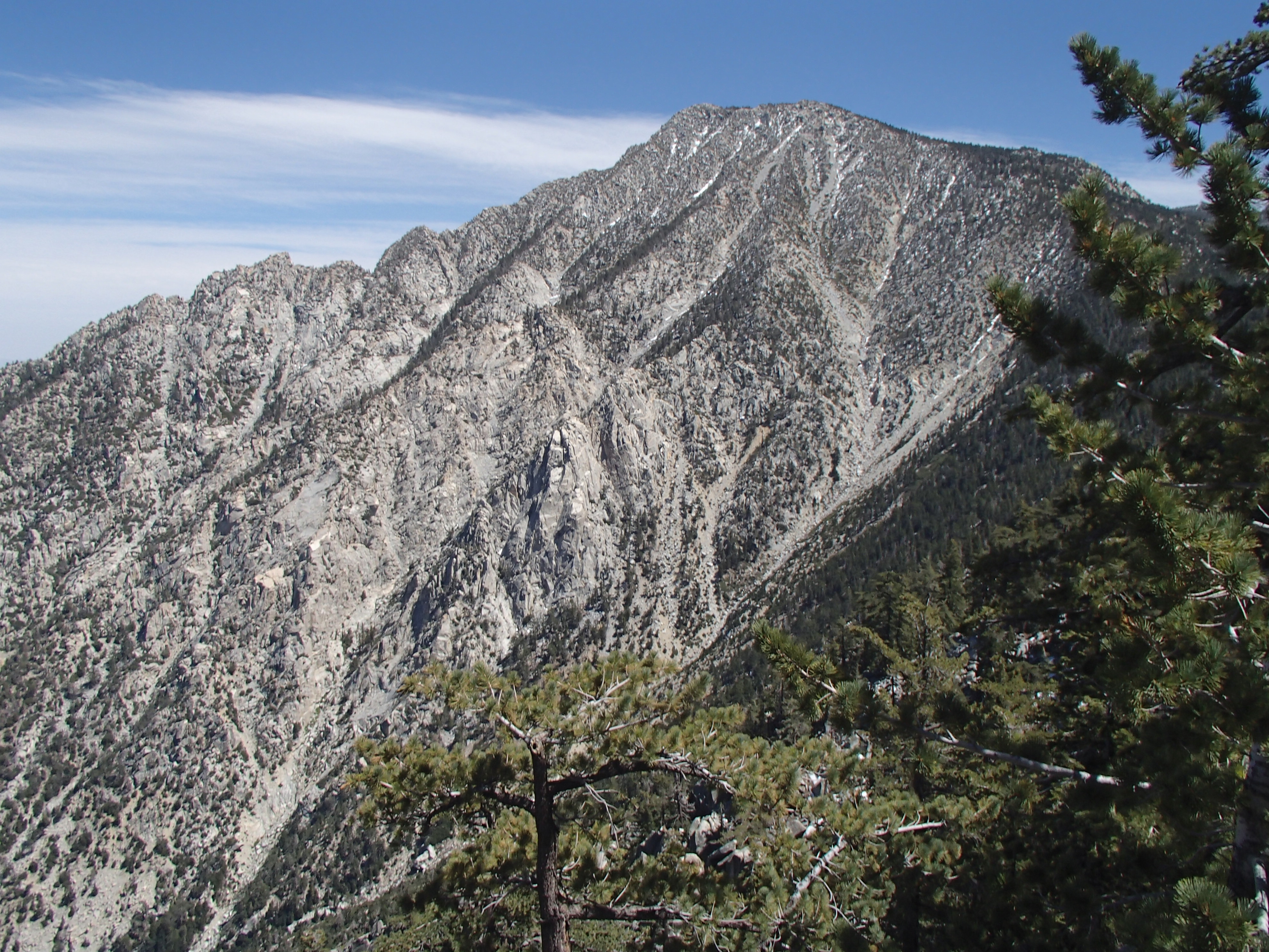
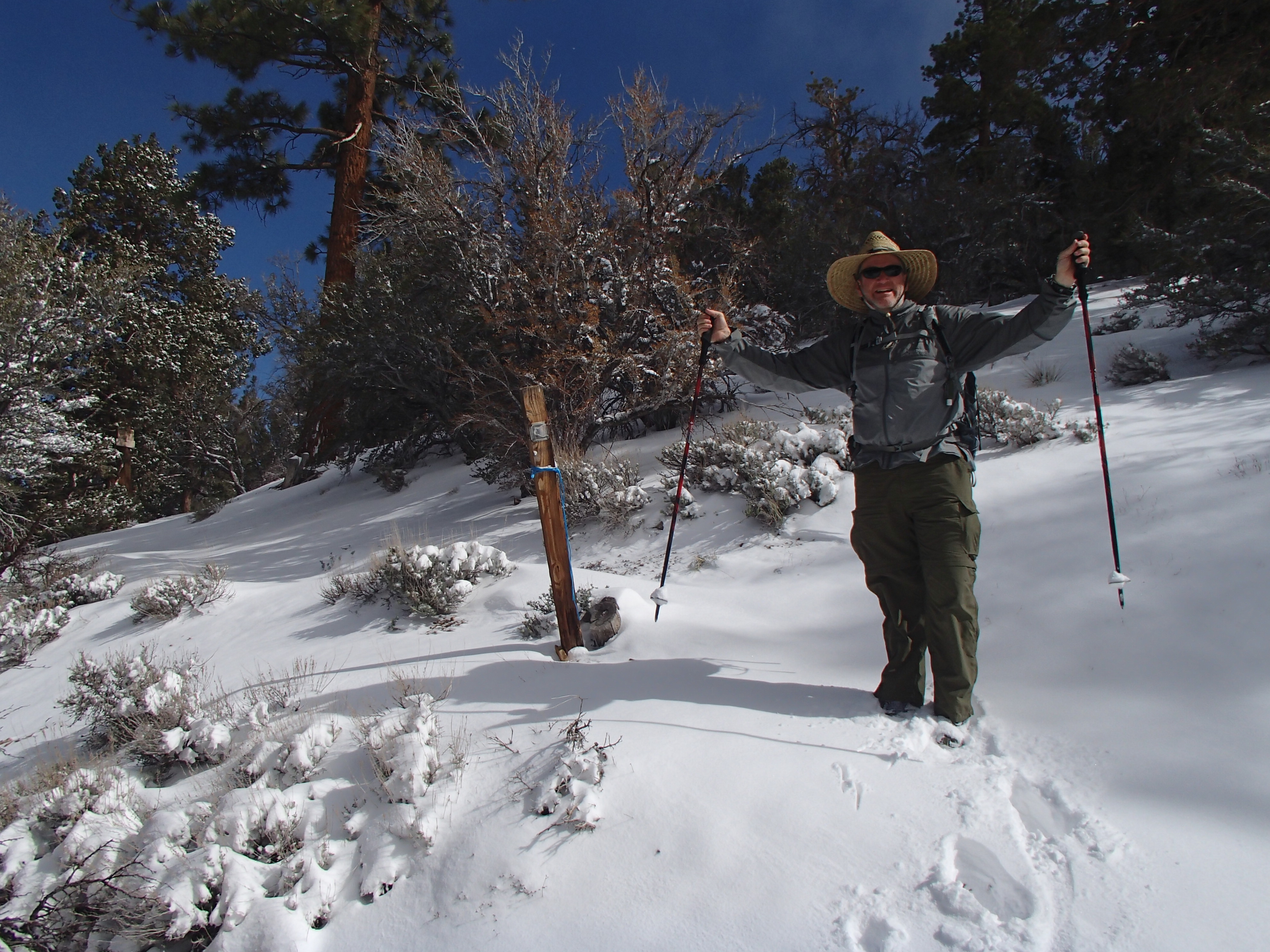
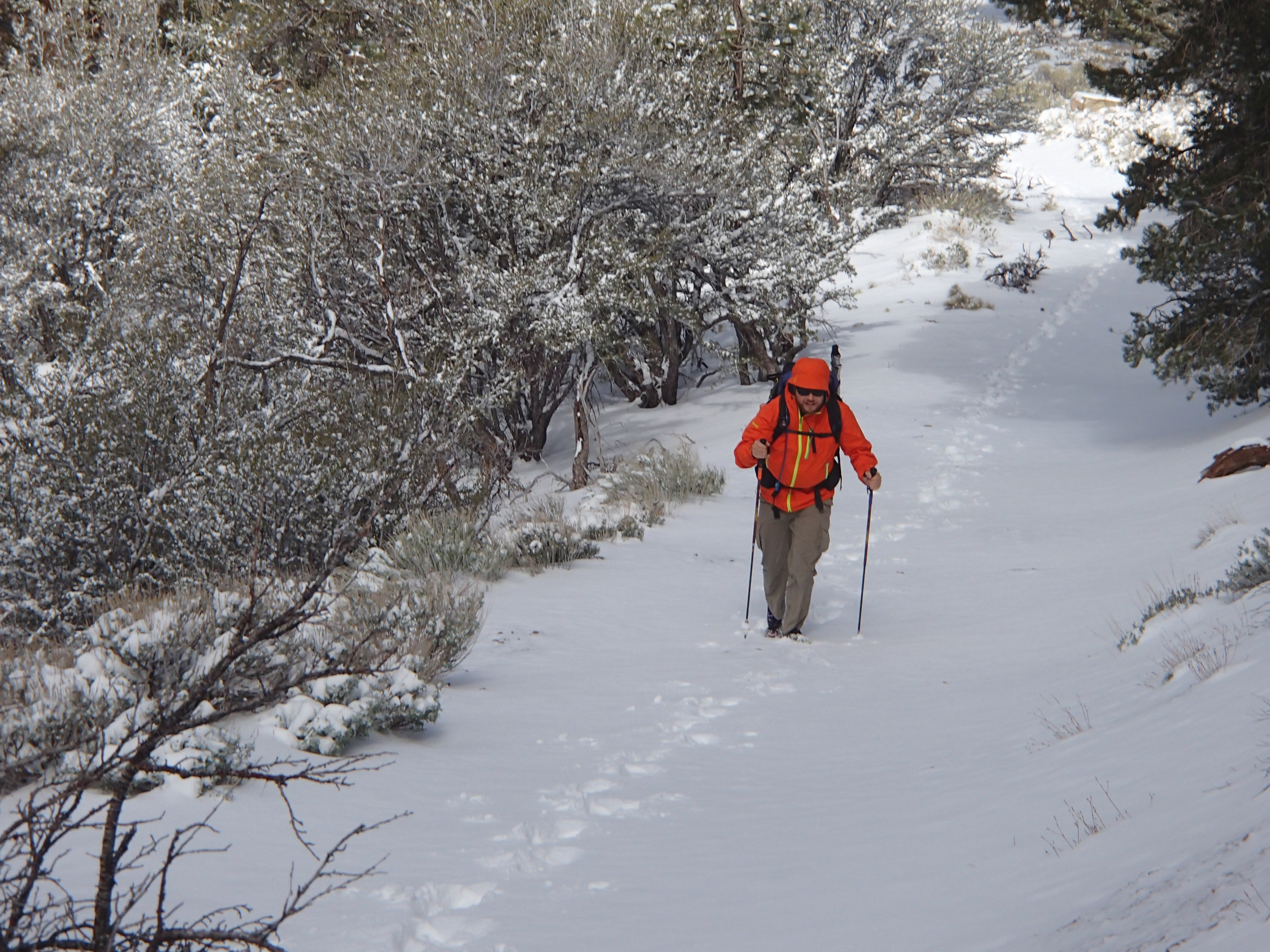
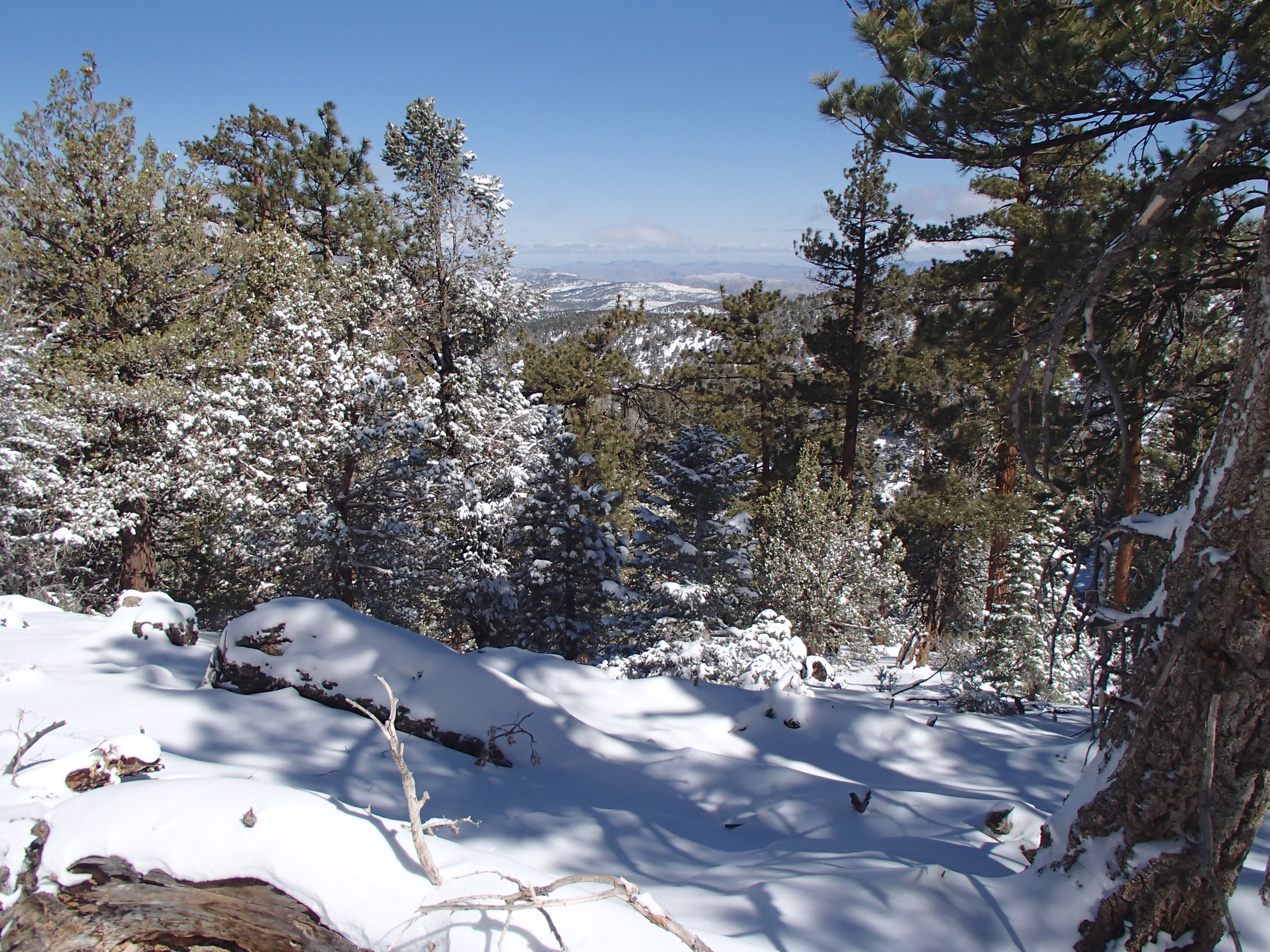
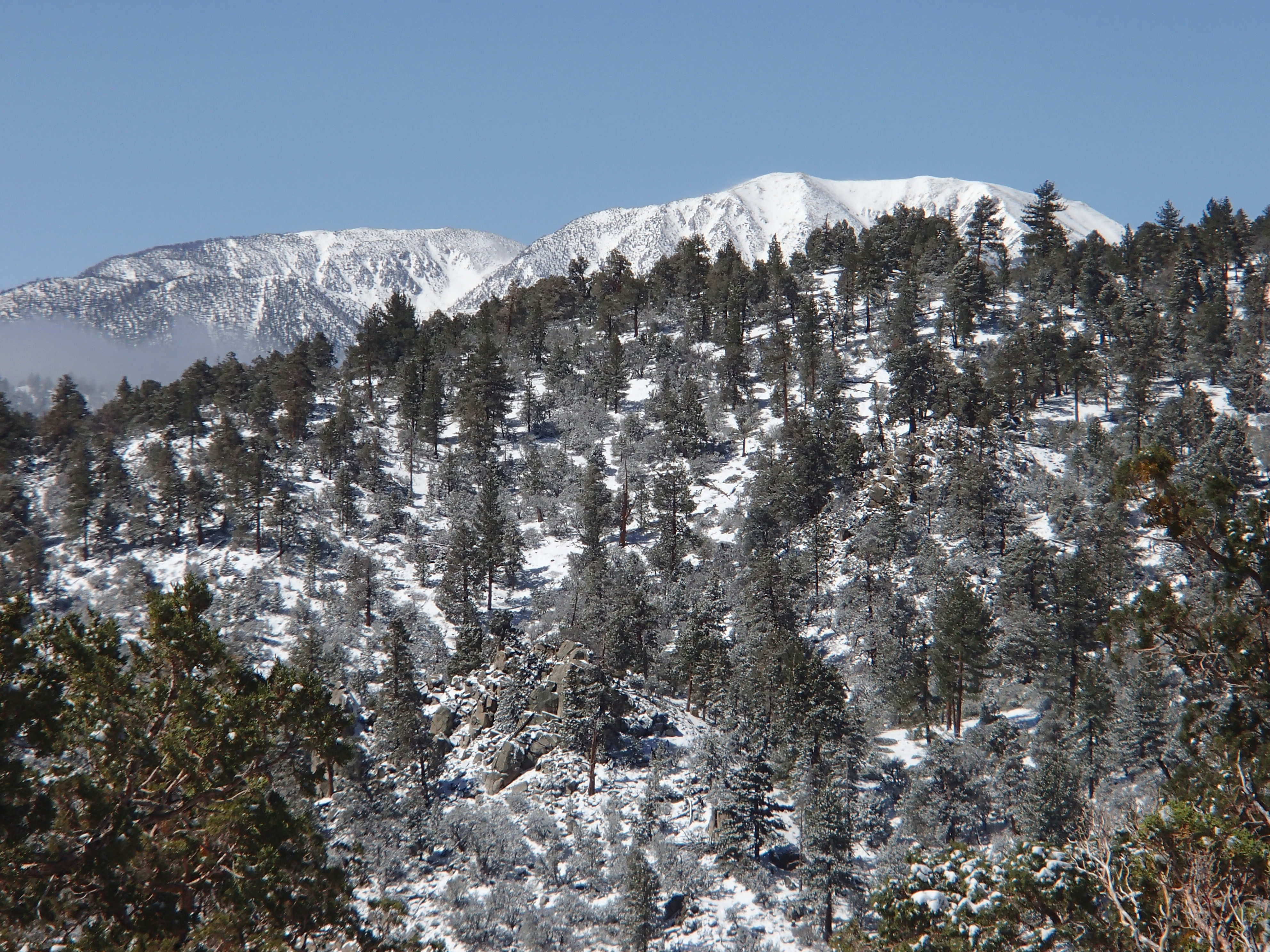
After leaving, I felt like I was hiking in Cascade Canyon of the Grand Tetons. What beautiful country I was in! I’m amazed every day that I can be in the heat of the desert in the morning and by mid afternoon I can be in the high country and snow. It’s pretty wild to say the least.
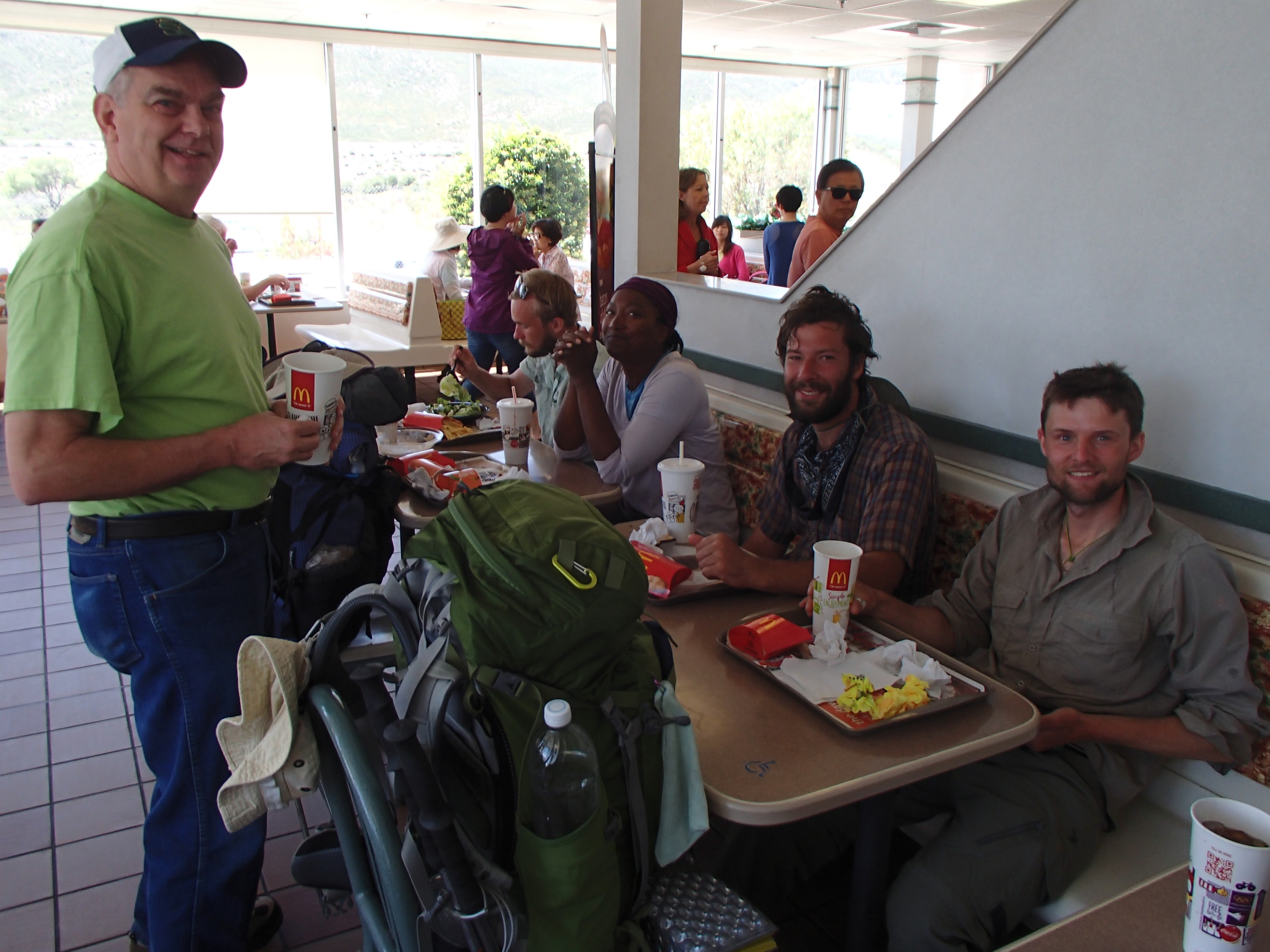
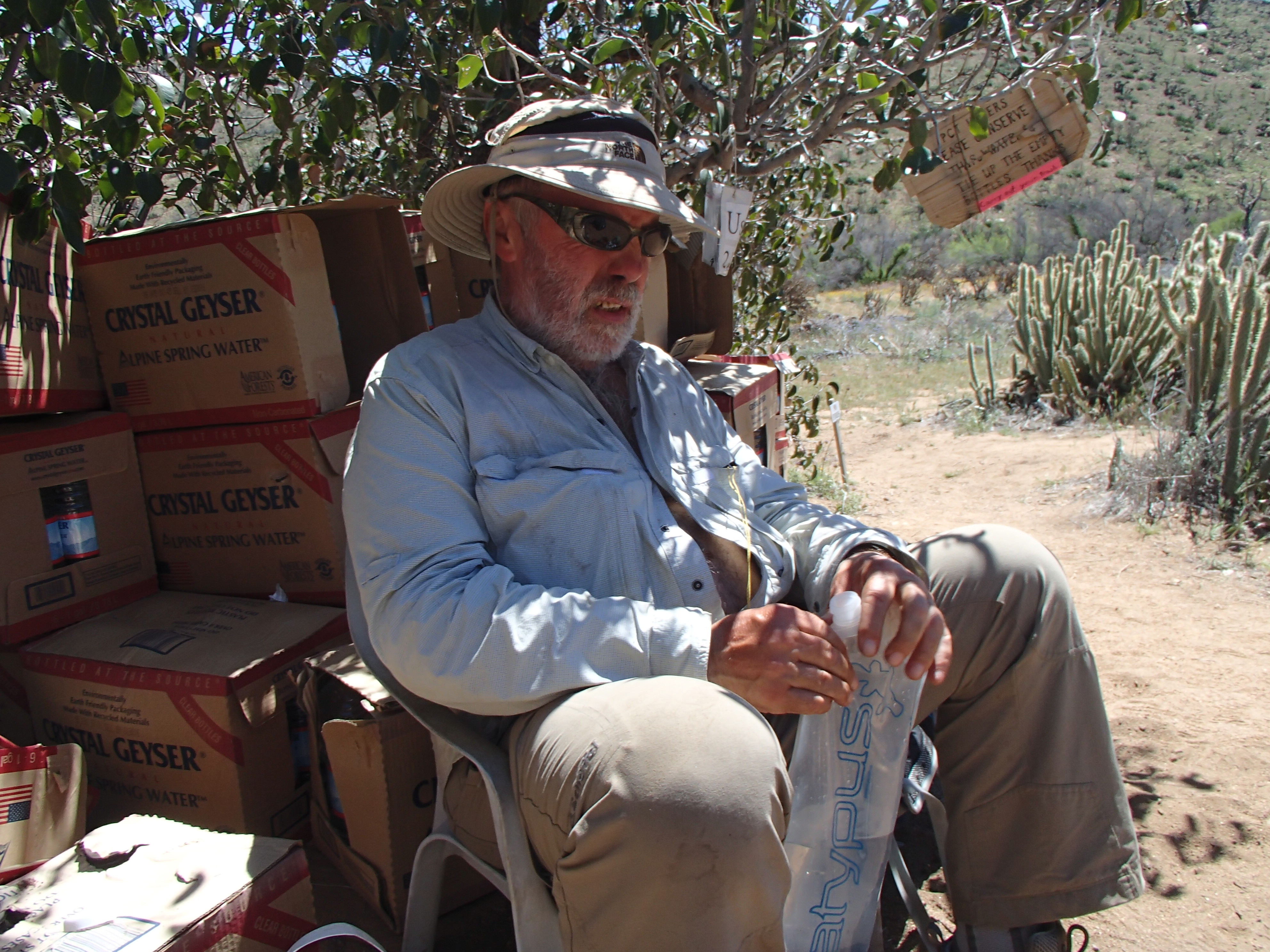
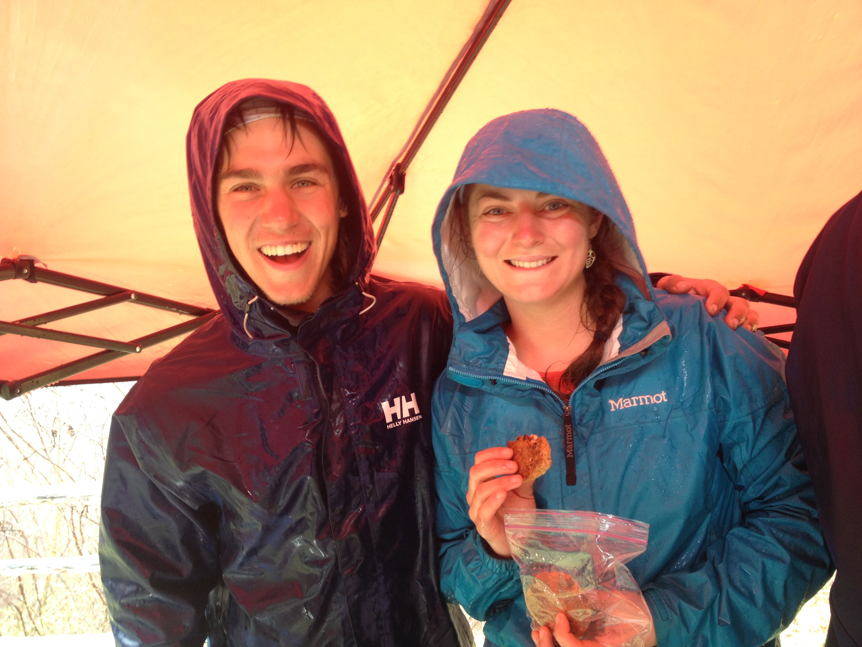
After leaving Ziggy and the Bear, a hiker hostel, we all heard that a winter storm was approaching. I wanted to try to get to Onyx Summit (mile 252) and hitch into Big Bear City to dodge the storm. About fourteen miles before Onyx summit, we met Trail Angel Steve who was out on a pretty rough forest service road treating hikers with trail magic and advising them of the coming winter storm. After a couple of candy bars and a Gator Aid, he said he would meet us at Onyx Summit and give us a ride into Big Bear City. How sweet was that! Trail Angel Steve follows his wife up the trail. While “Steady” hikes, he spends his time doing trail magic along the way following her. Steady is already a Triple Crowner, having completed the AT, PCT, and the CDT. She is hiking the PCT again after having completed it in 1993. What a terrific couple Steve and Steady are! We had a great time playing the card game “Pit” with them in Big Bear City at the McDonalds. That night it did snow about 7 inches up in the high country so we were glad we chose to stay in town. We did enjoy hiking in it the next day.
Steve and “Steady” below:
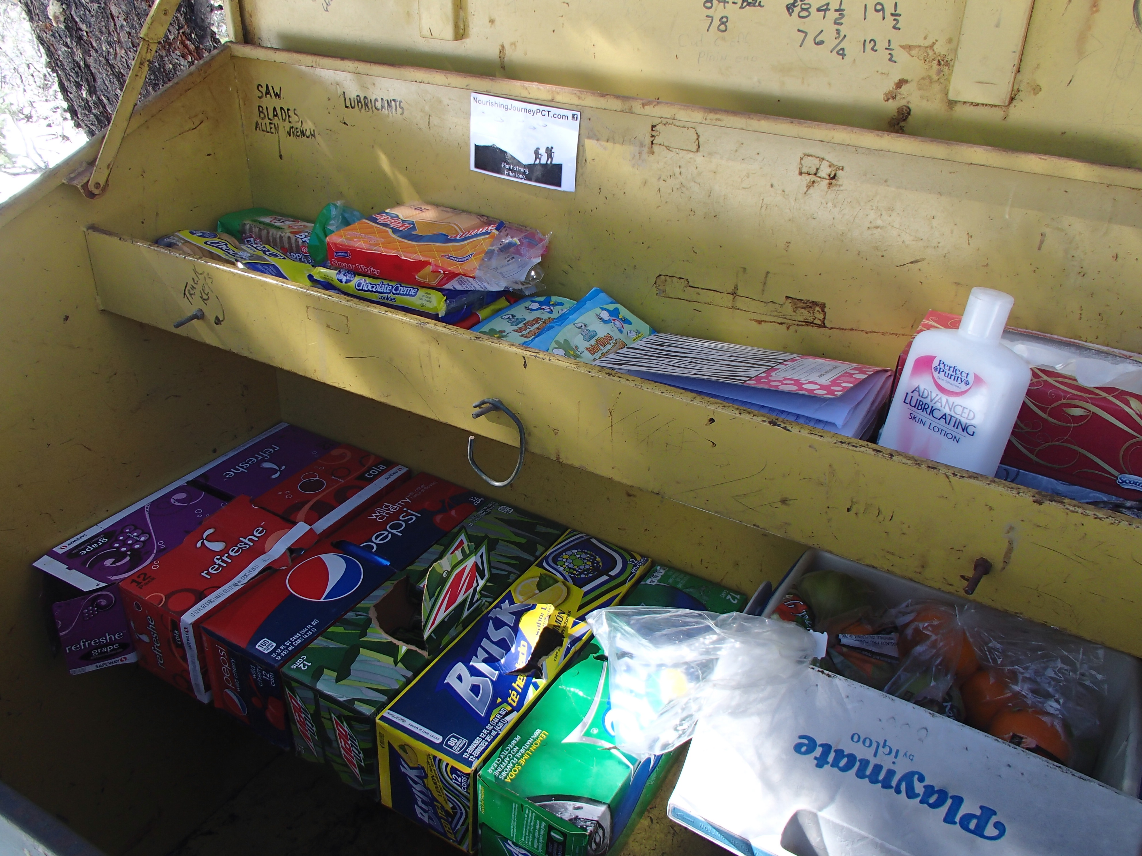
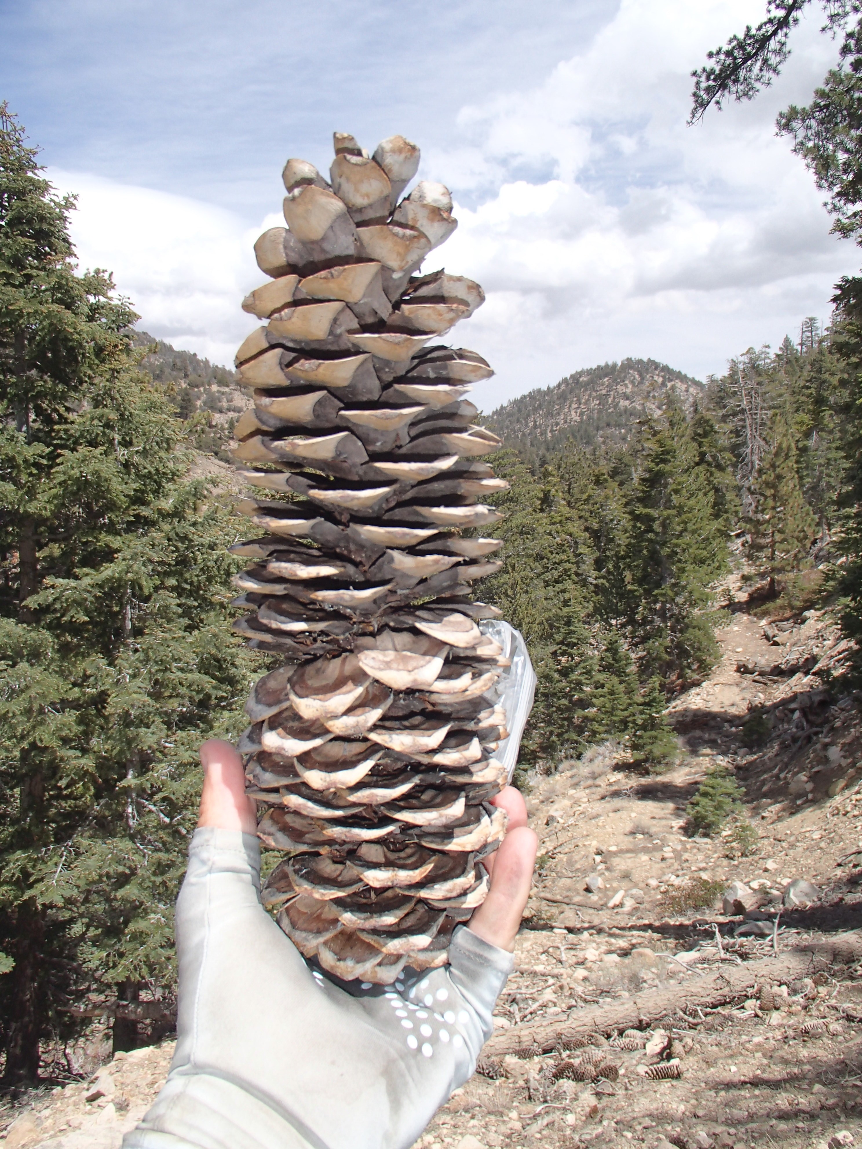
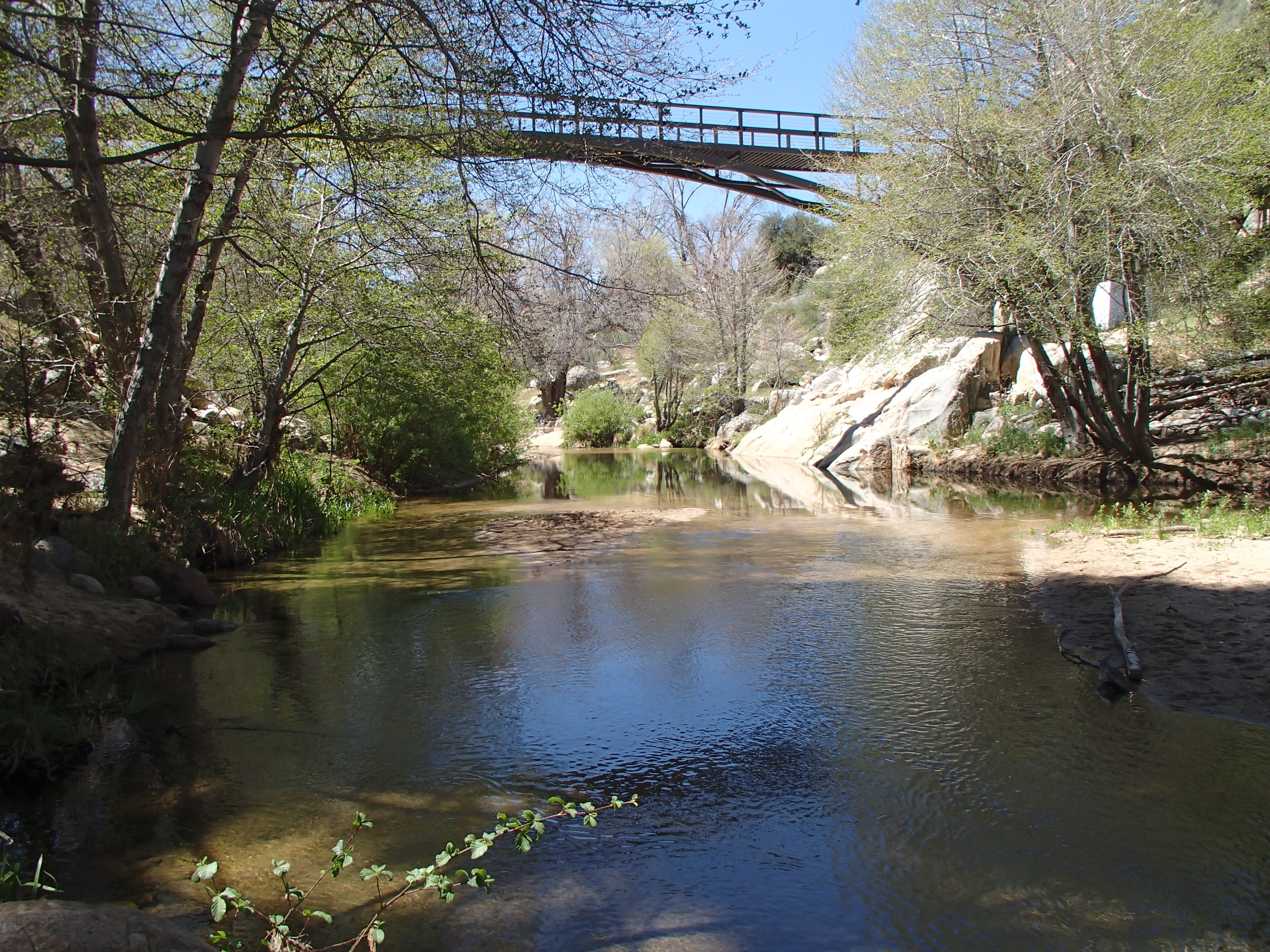
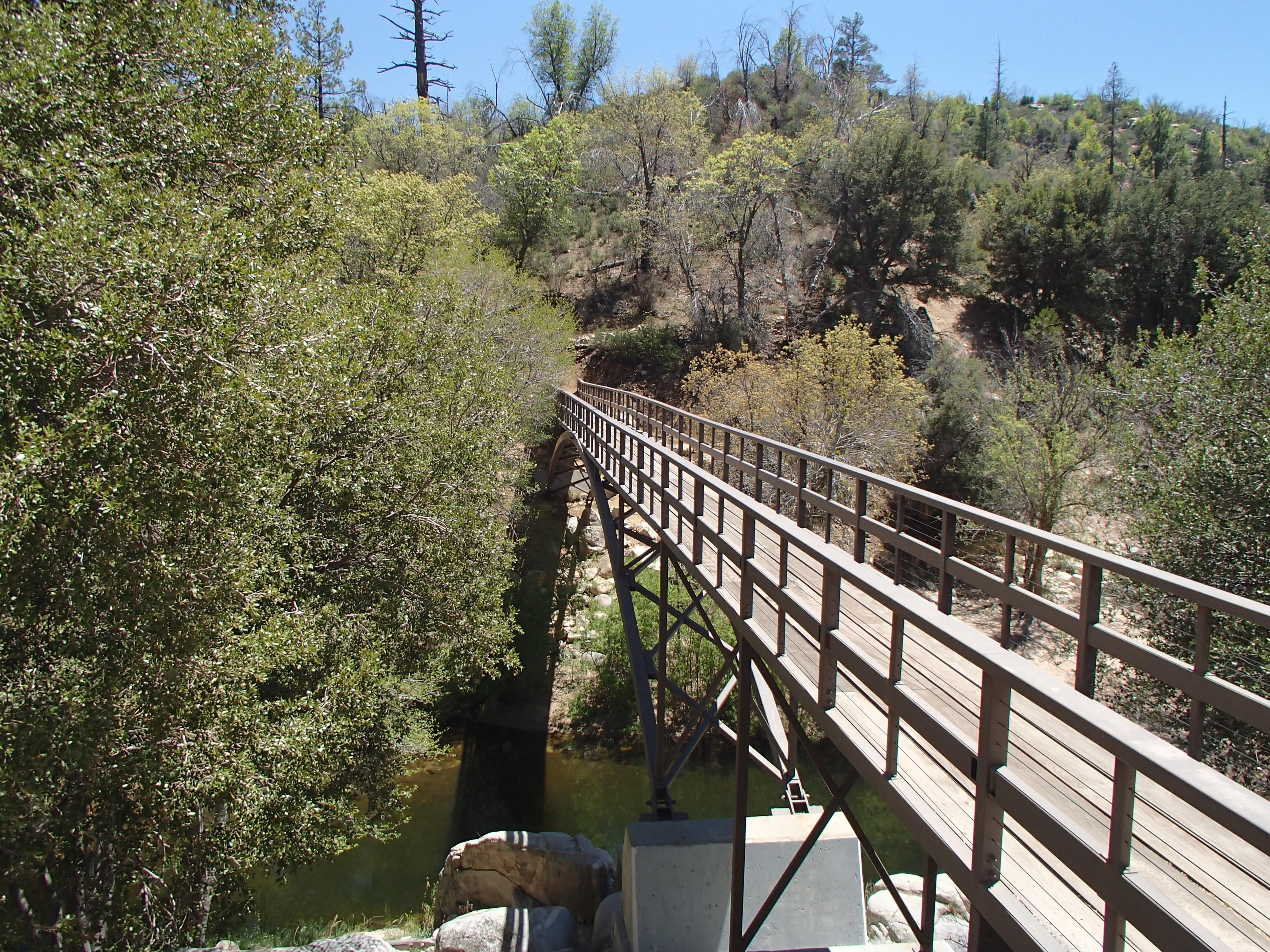
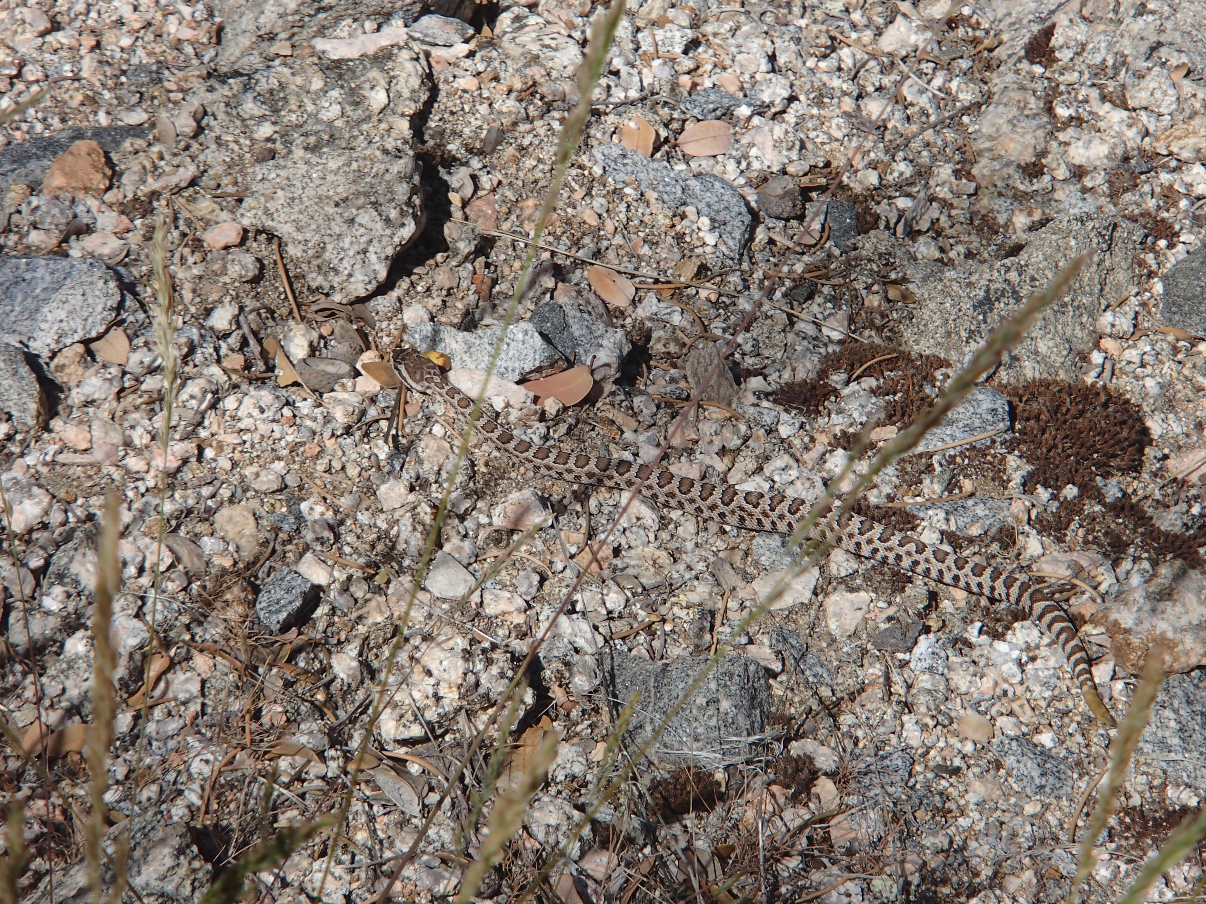
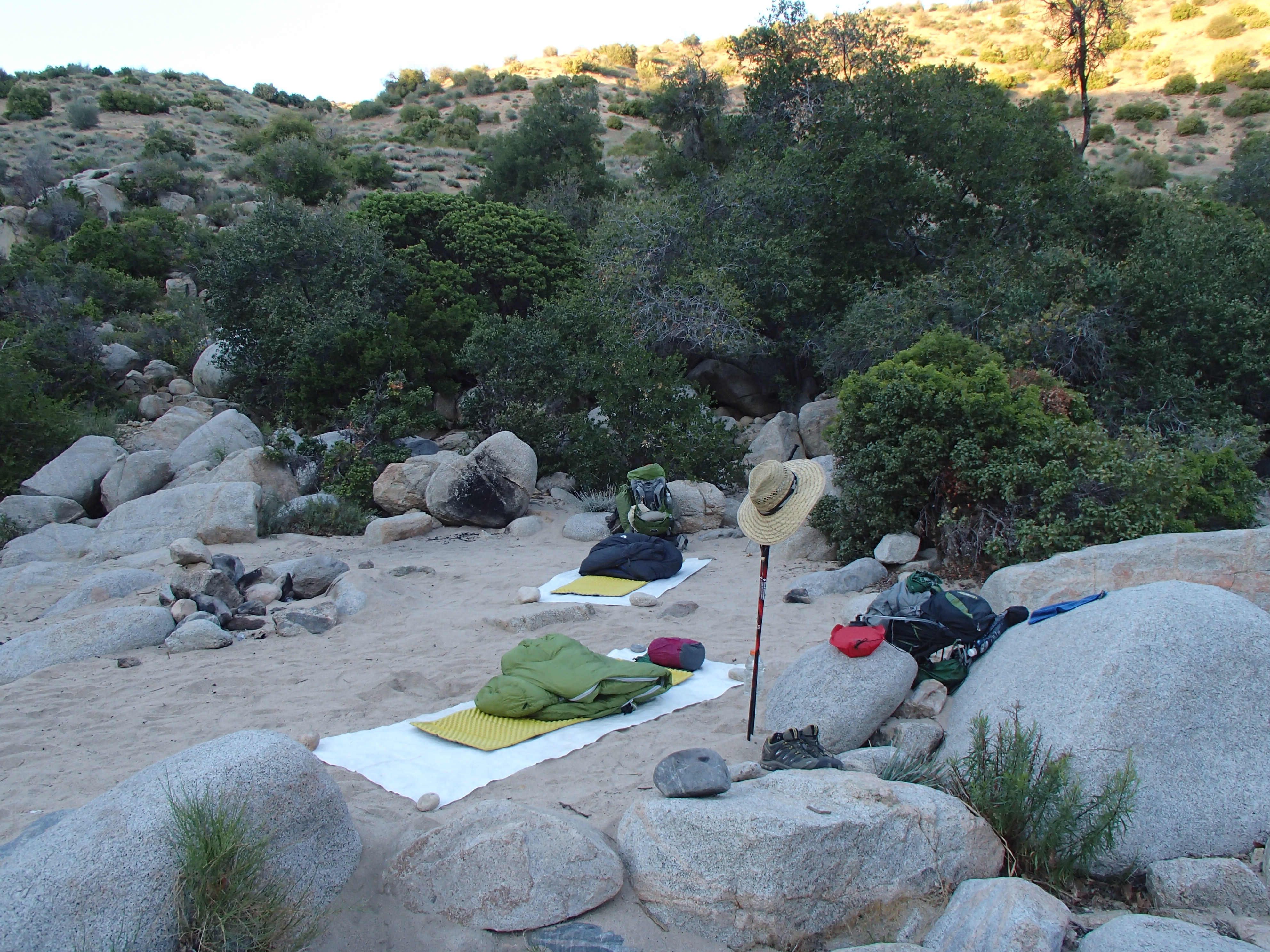
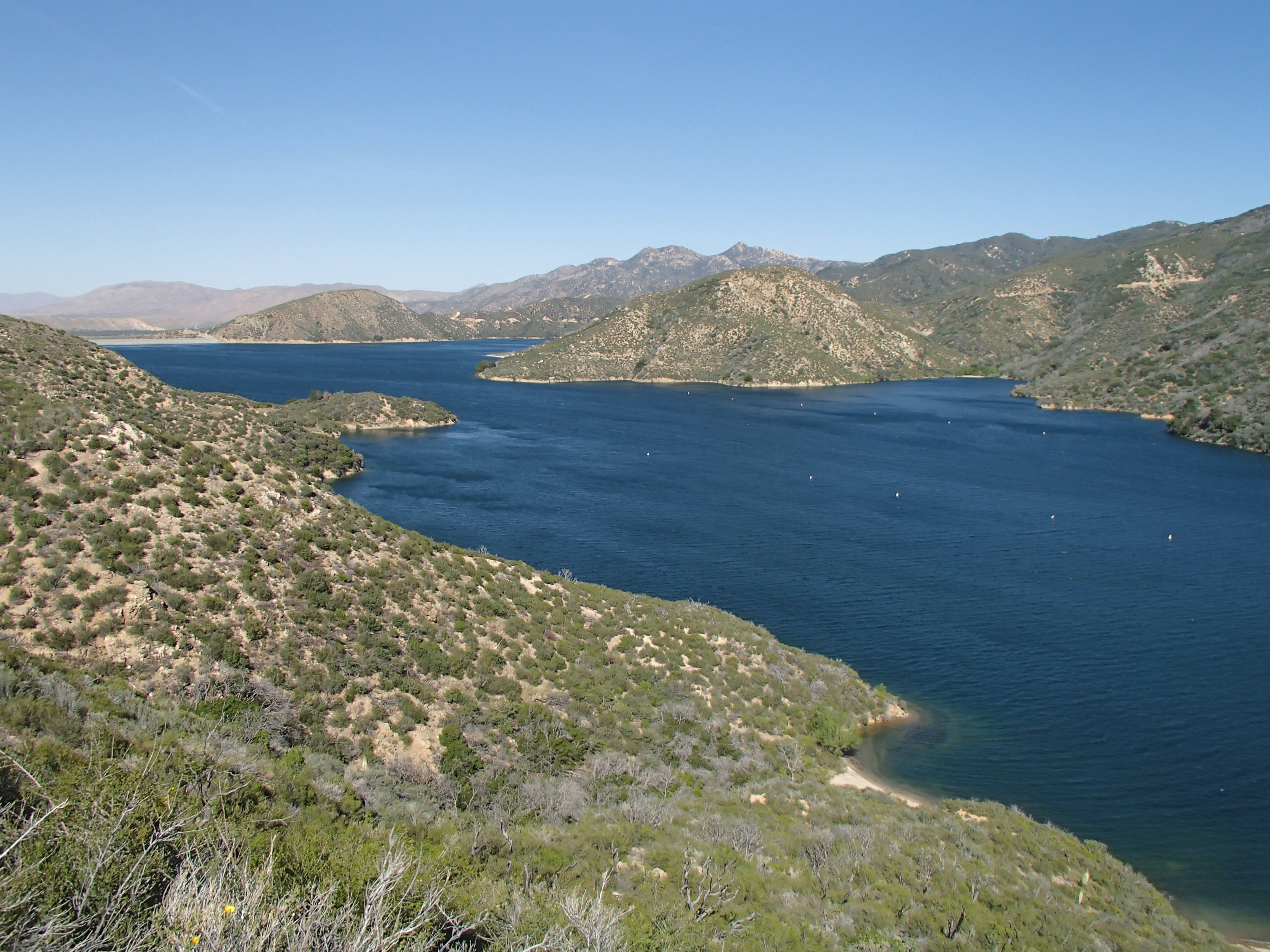
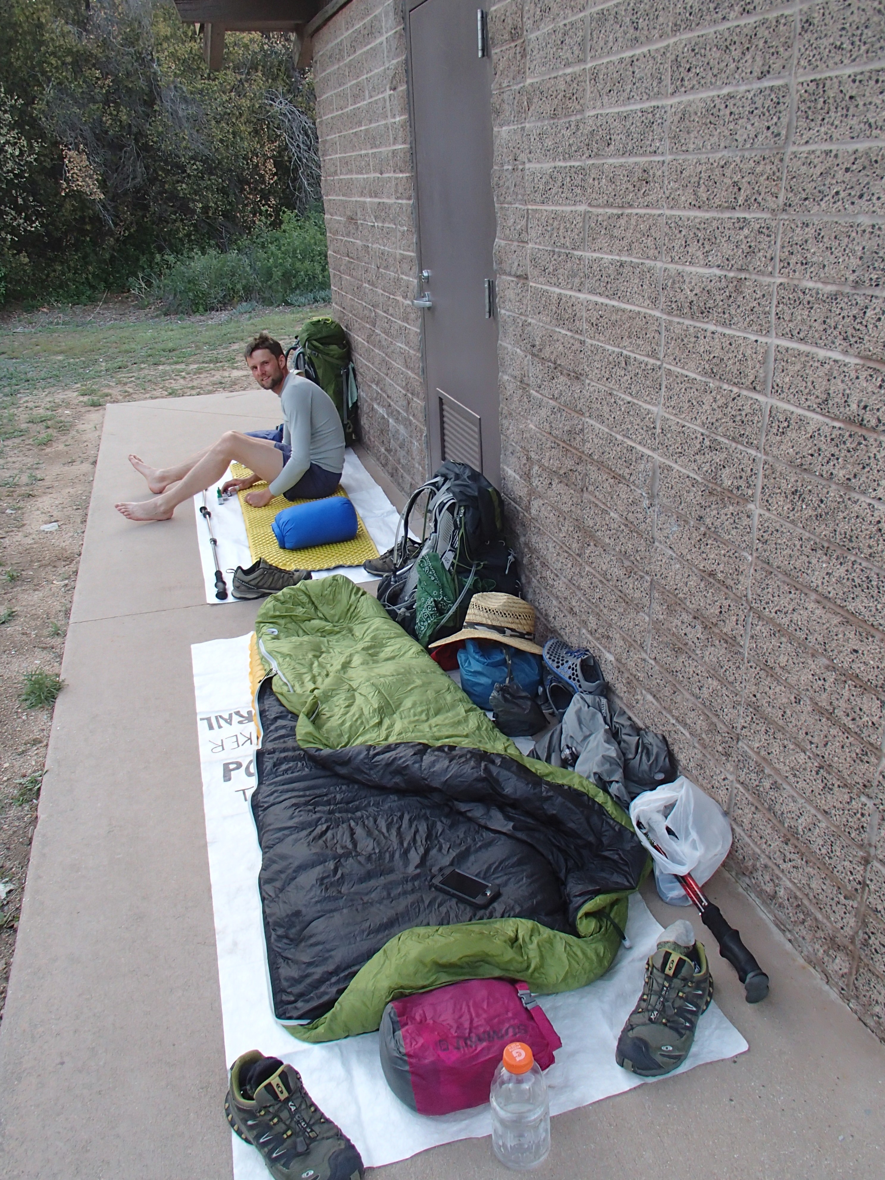
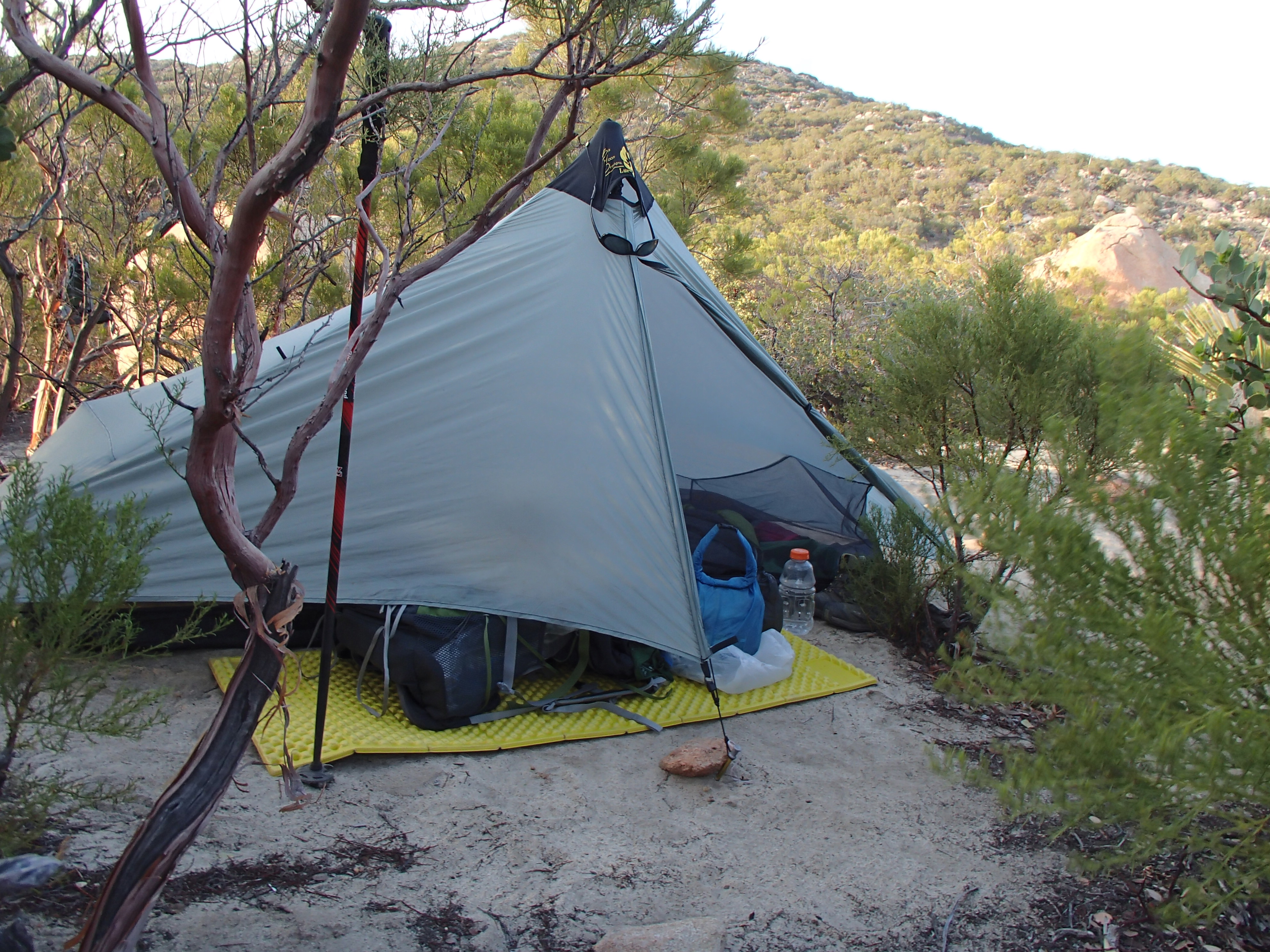
Some additional photos from the past week:
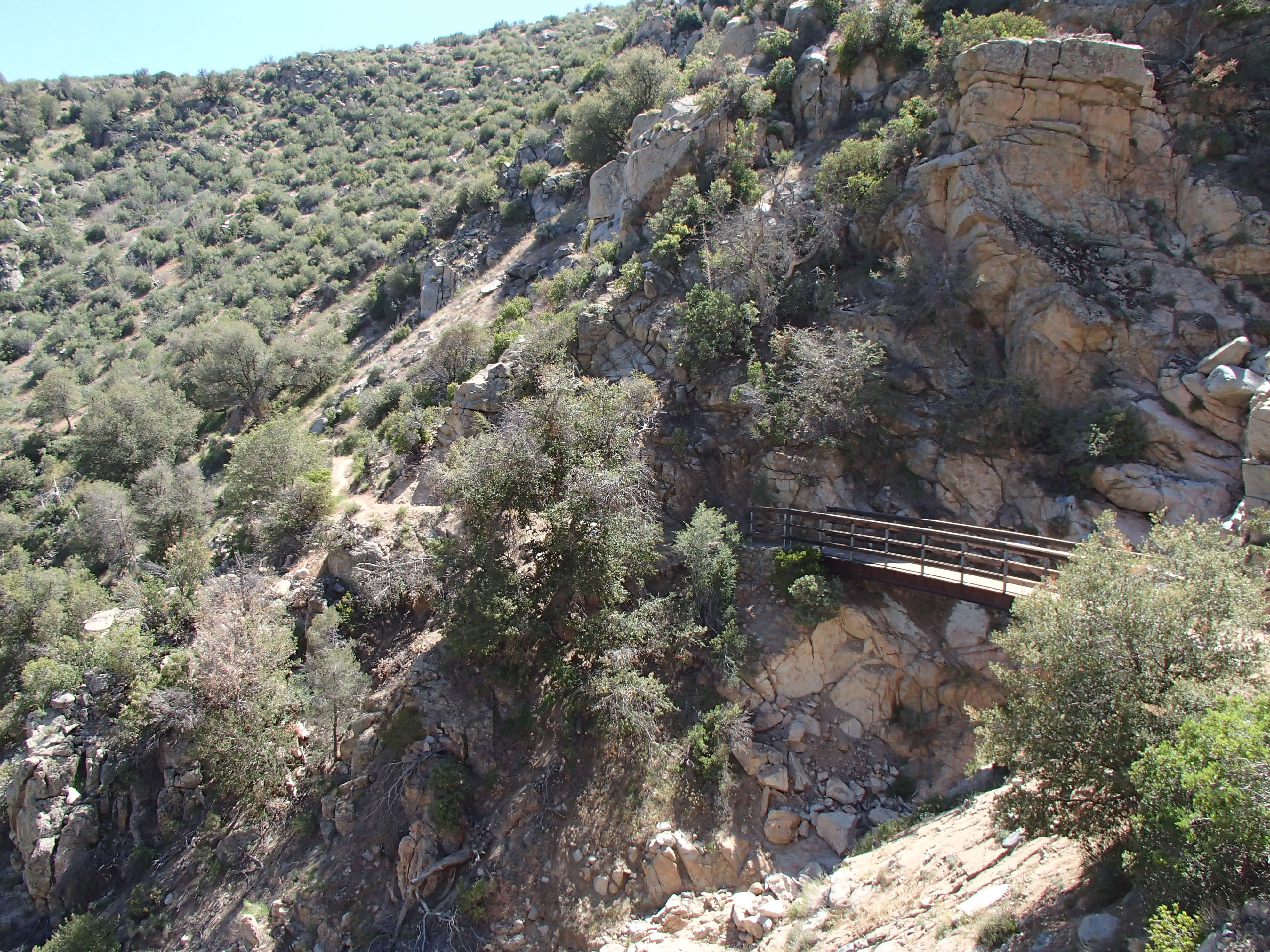
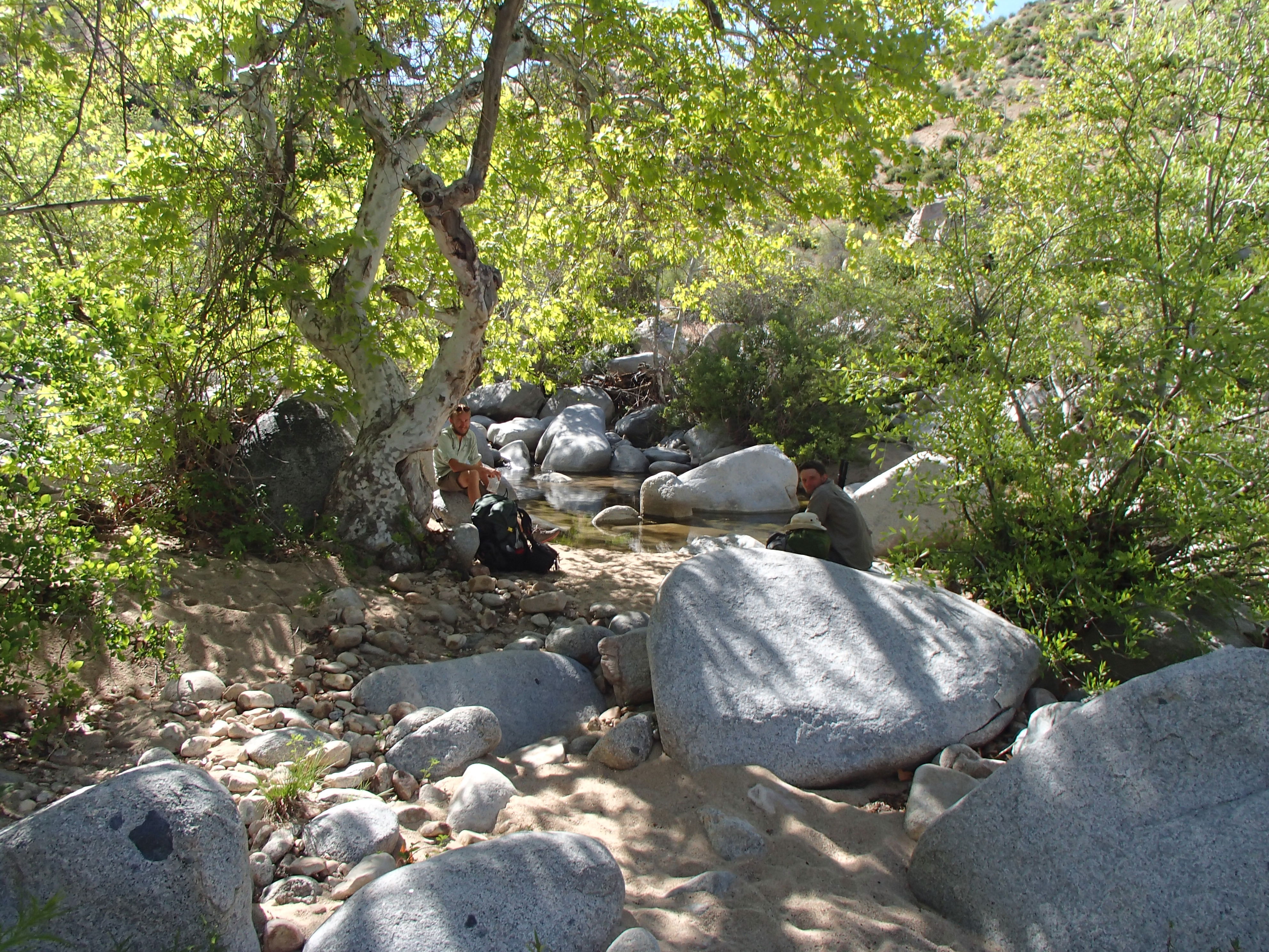
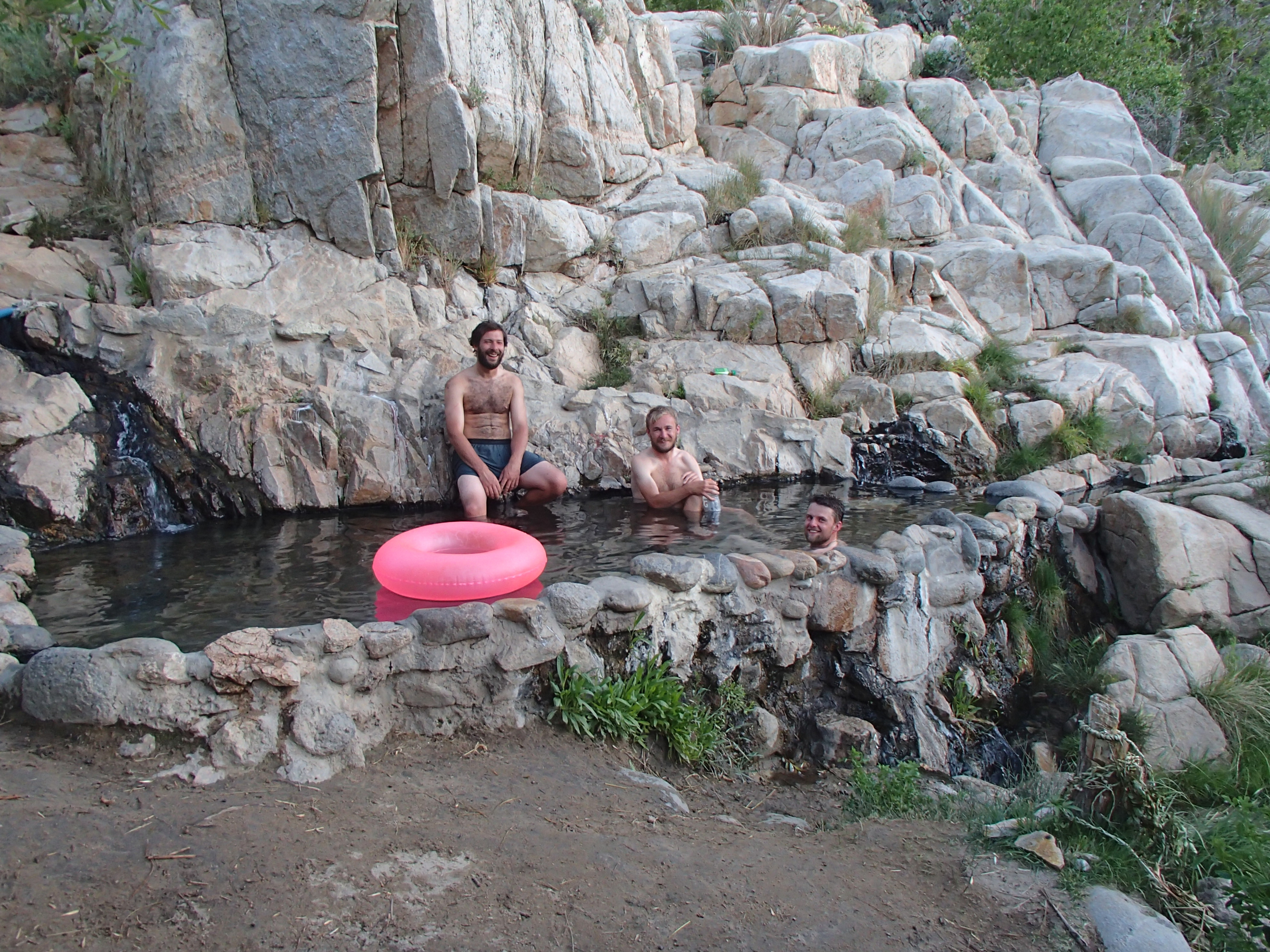
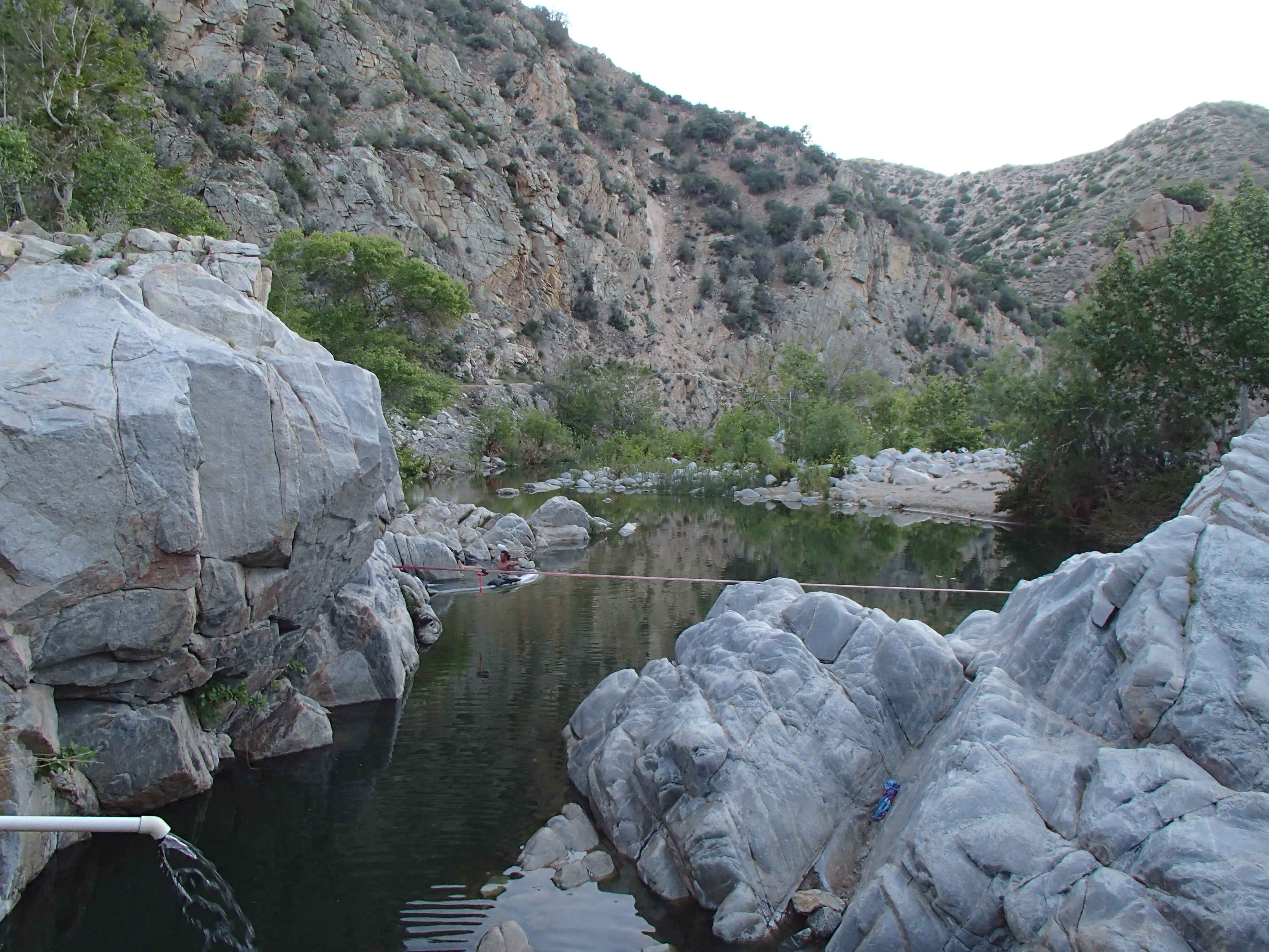
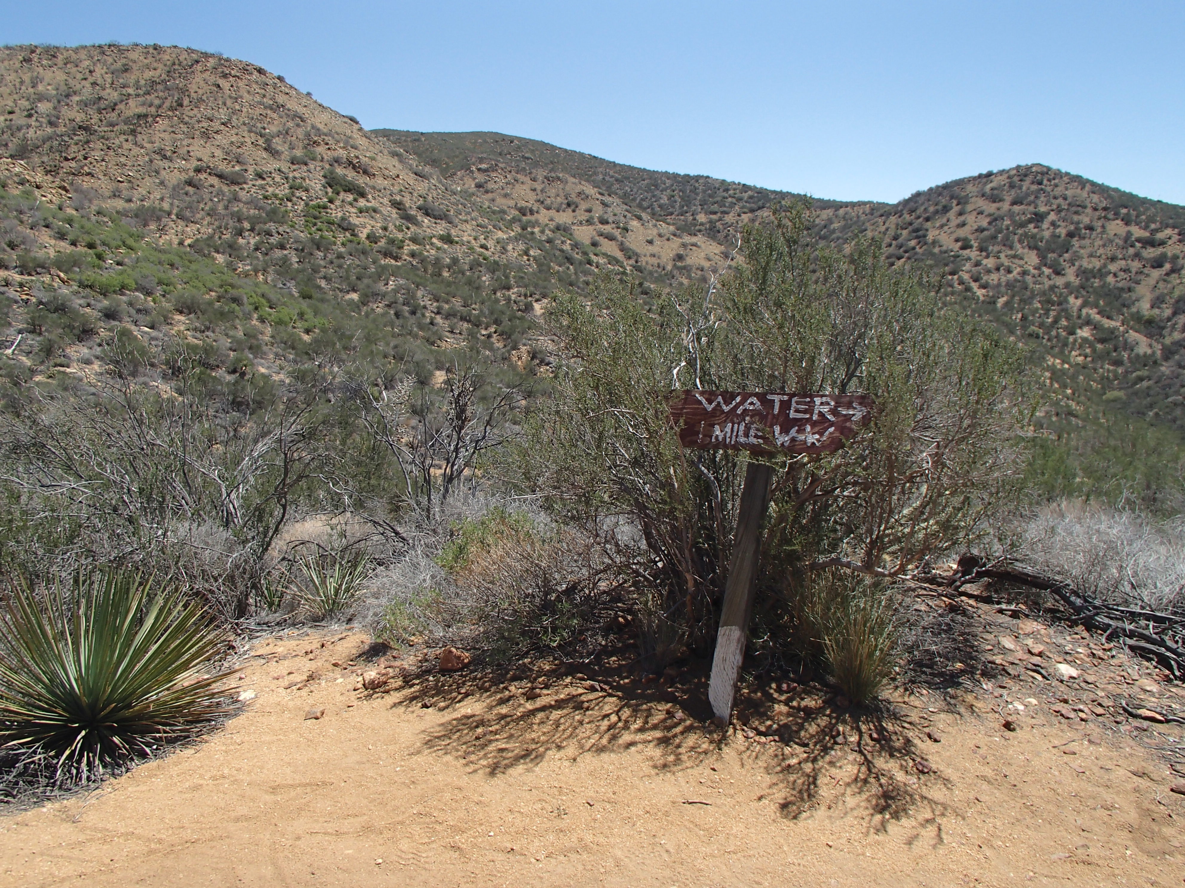
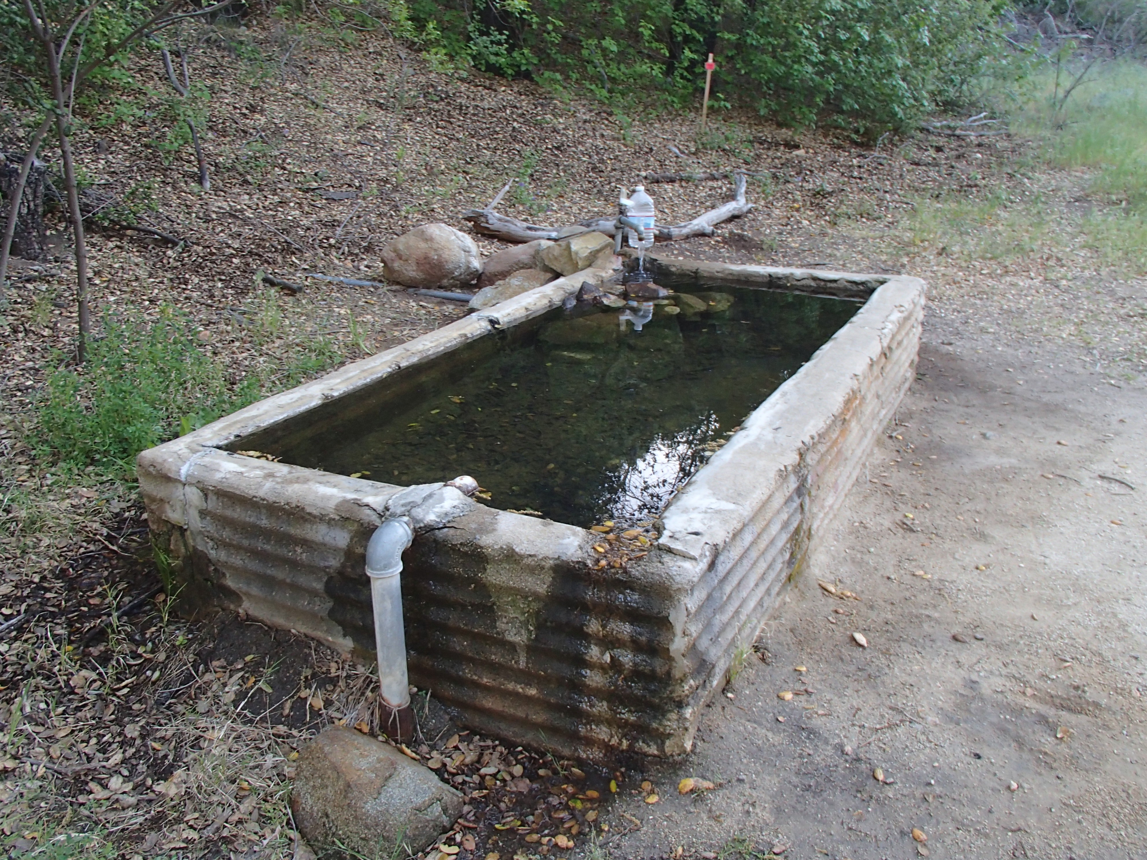
Deep Creek and the Hot Springs
I first met “Coppertone”, pictured above, hiking into the Hot Springs at Deep Creek. He was in his birthday suit wearing nothing but a day pack, boots, and a hat carrying a shovel and working on the trail. Quite a nice guy, Coppertone thru hiked the PCT in 2006 and was giving back 🙂 in his own way. The next morning he was offering hikers root beer floats at a nearby trail crossing. He’s been living and traveling the county for the past four years in his vehicle pictured above. It’s very nicely equipped!
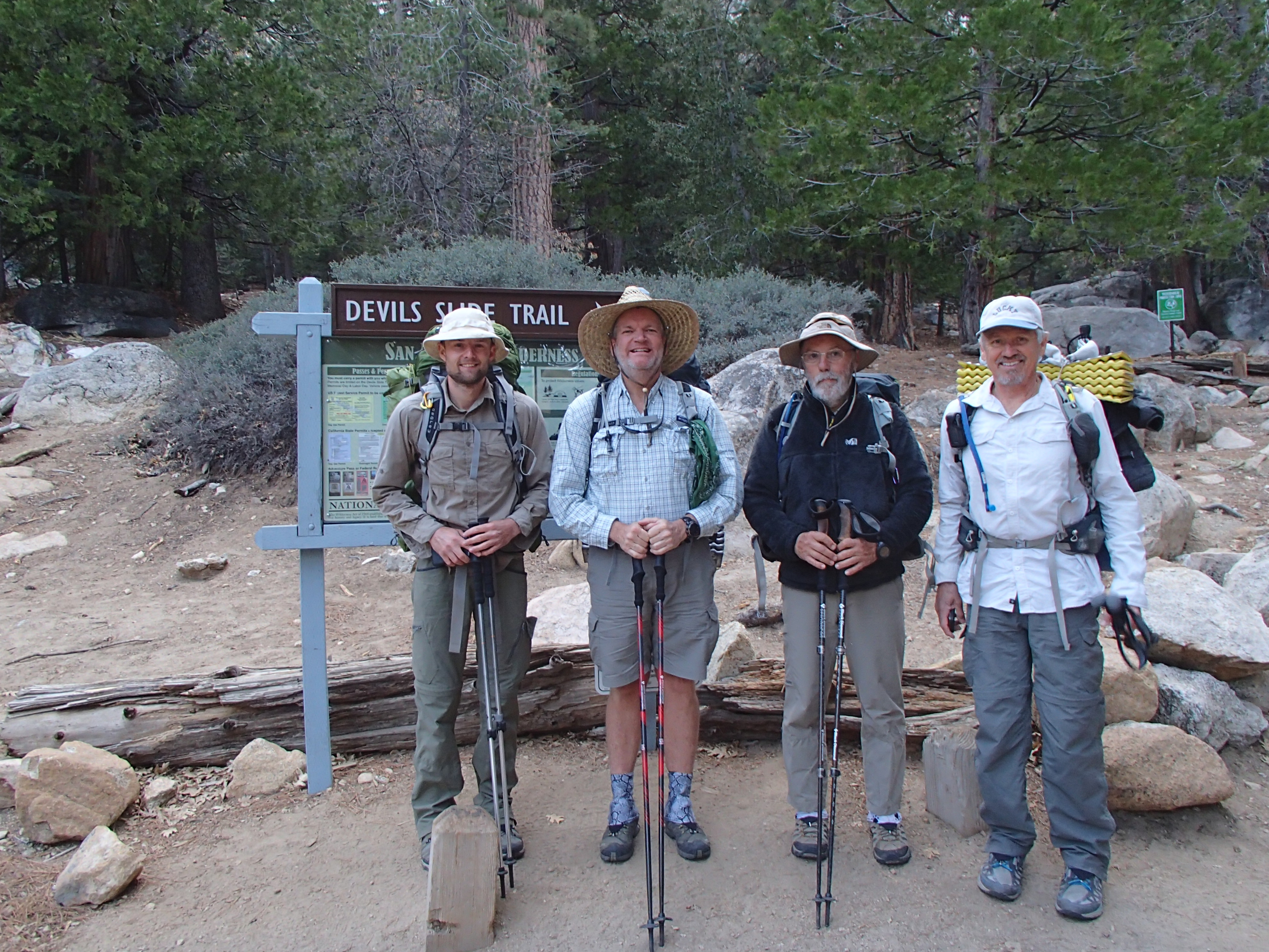
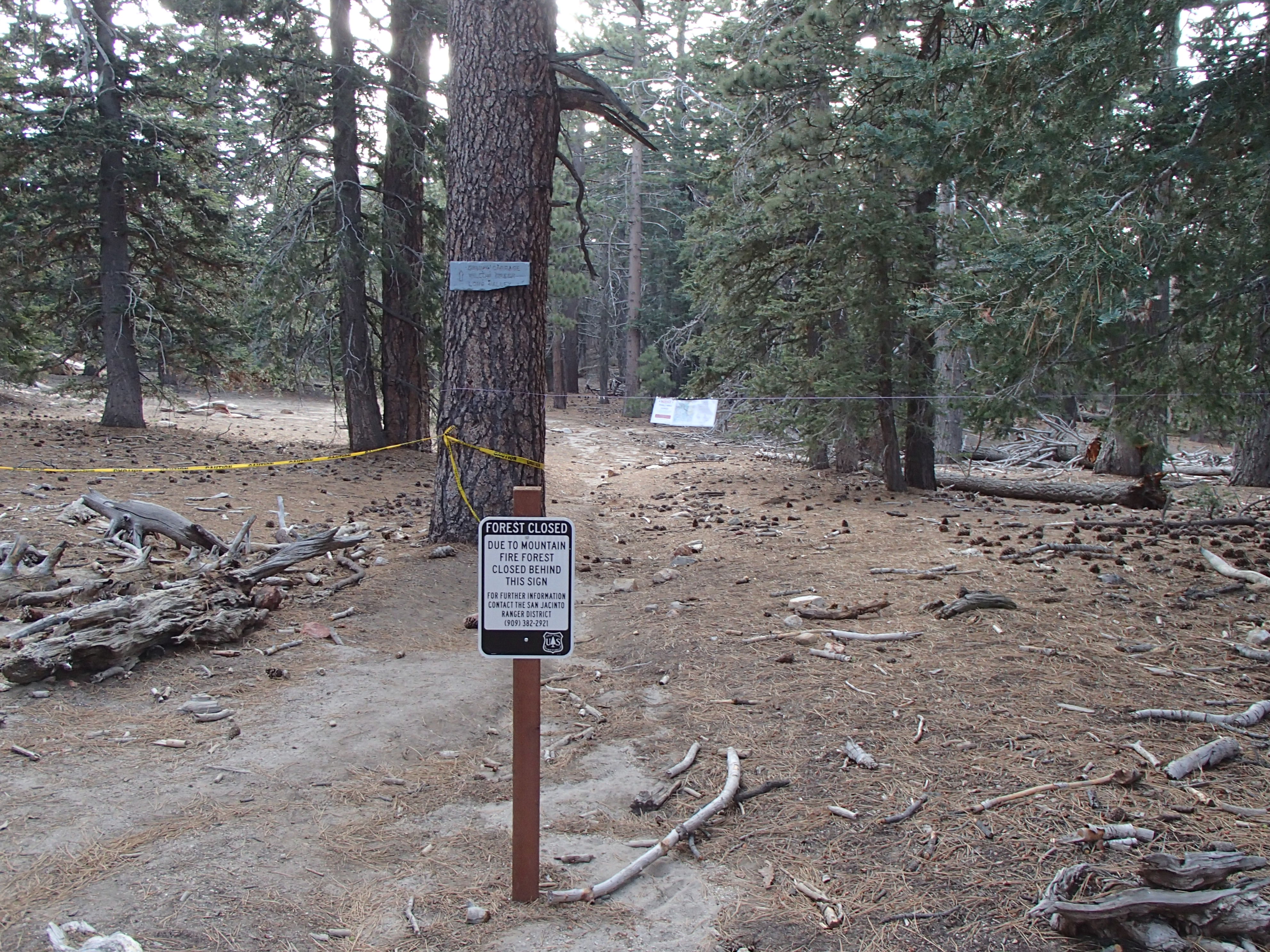
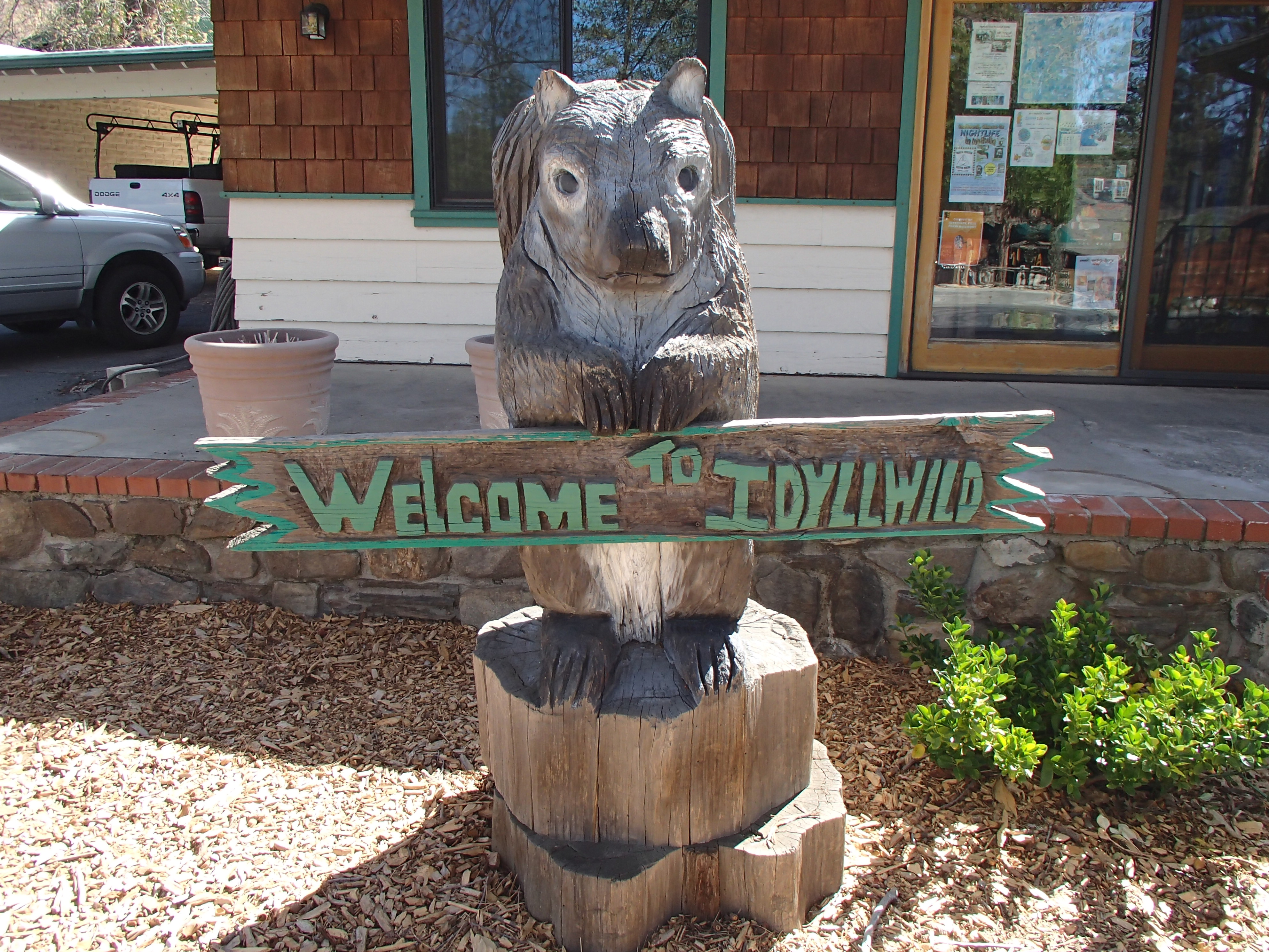
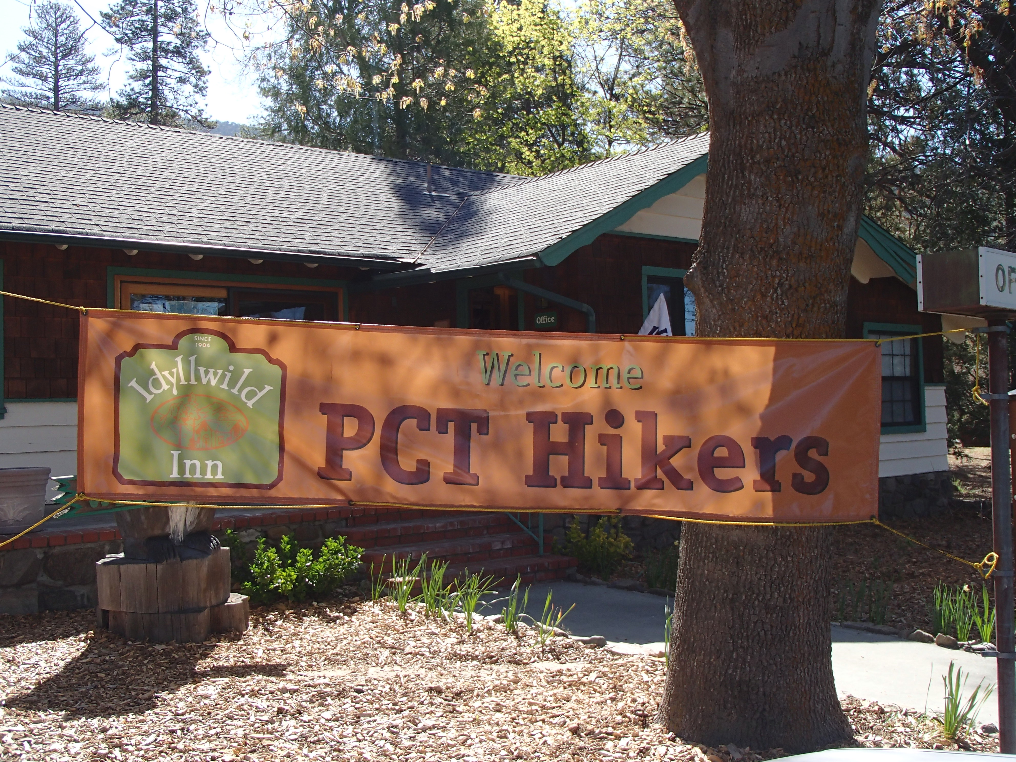
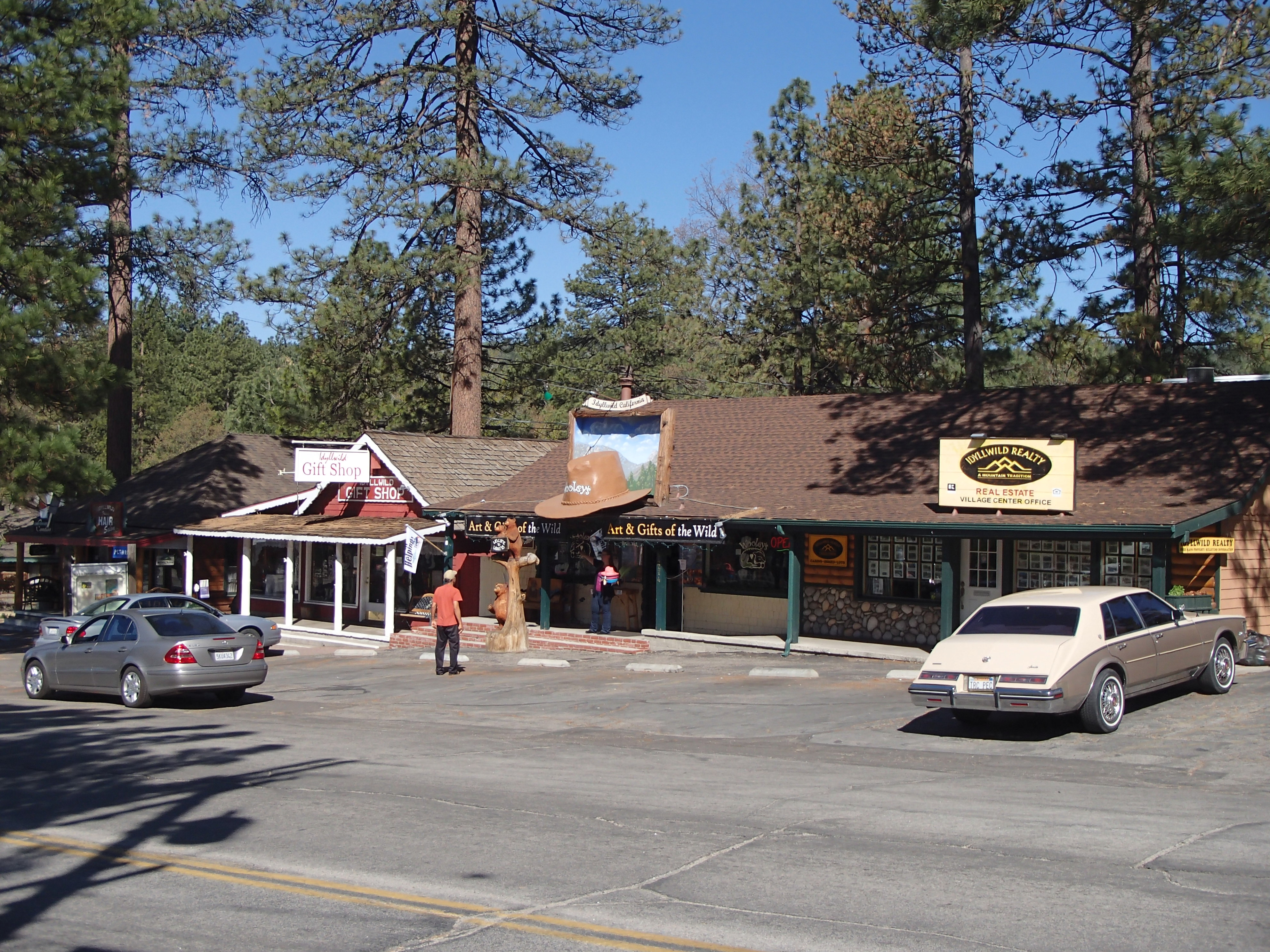
Made it to town a day early and I’m enjoying my first zero day in a cool little place called Idyllwild. The main reason I’m a little early here is that there is a section of the PCT which has been closed since July of last year due to a fire on Mt. San Jacinto between mile 162.5 and mile 178. The only real walking option is a dangerous highway road walk and it’s been reported by other hikers that the highway is a very twisty mountain road with zero shoulder, large drop-offs, blind corners and plenty of traffic. For me, I decided like most folks to hitch a ride into town. The road walk option just didn’t sound like an enjoyable experience for me. I wish I had more confidence in drivers out there, but I don’t.
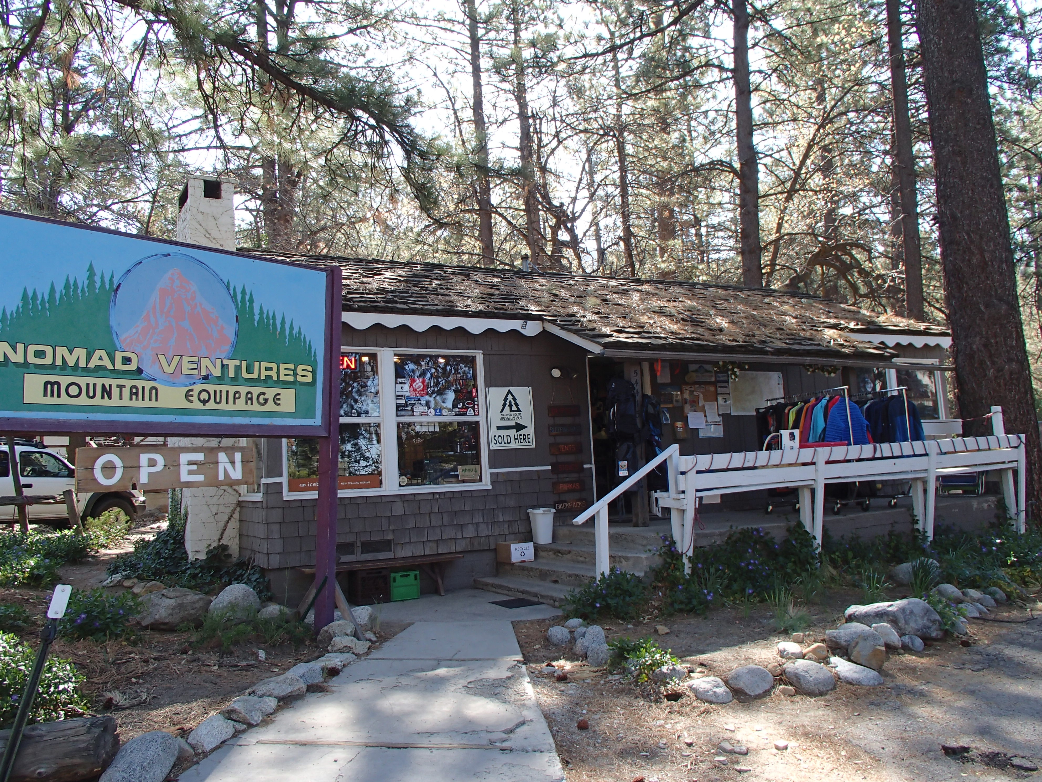
So, here I am enjoying some good rest and food. This morning I ate breakfast at a little place called the Red Kettle Restaurant, which claims to have been visited often by both John Wayne and Elvis Presley. At breakfast, I also met Trail Angel Stacy who offered me and a couple of other hikers a ride back to the trail head in the morning leaving town at 6:30 a.m. I’ve already made my stop by the local outfitter here and picked up some new Dirty Girl Gaiters (already put a pretty big hole in the ones I started with) and some fuel for cooking. I’m good to go for some more PCT desert hiking.
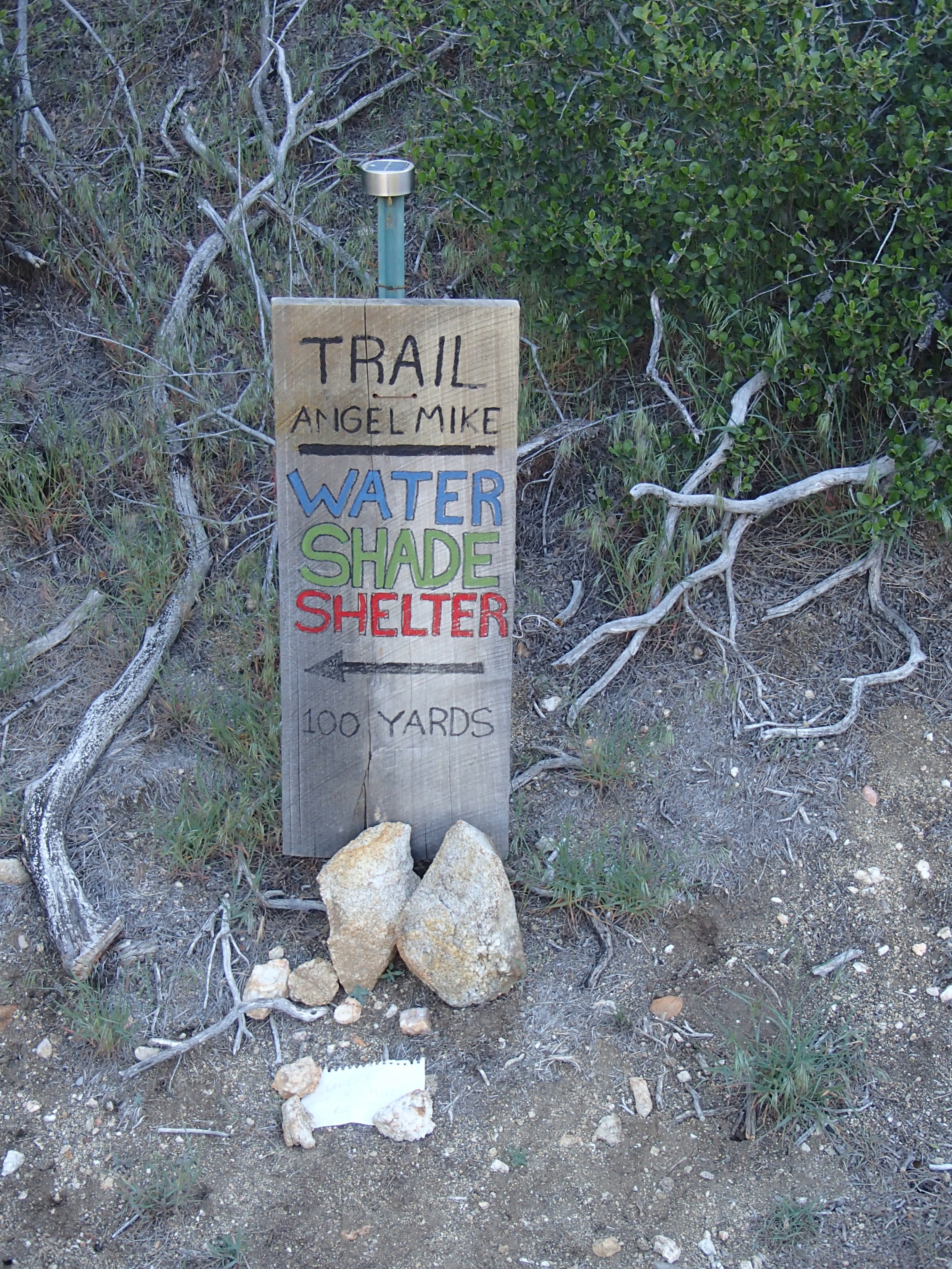
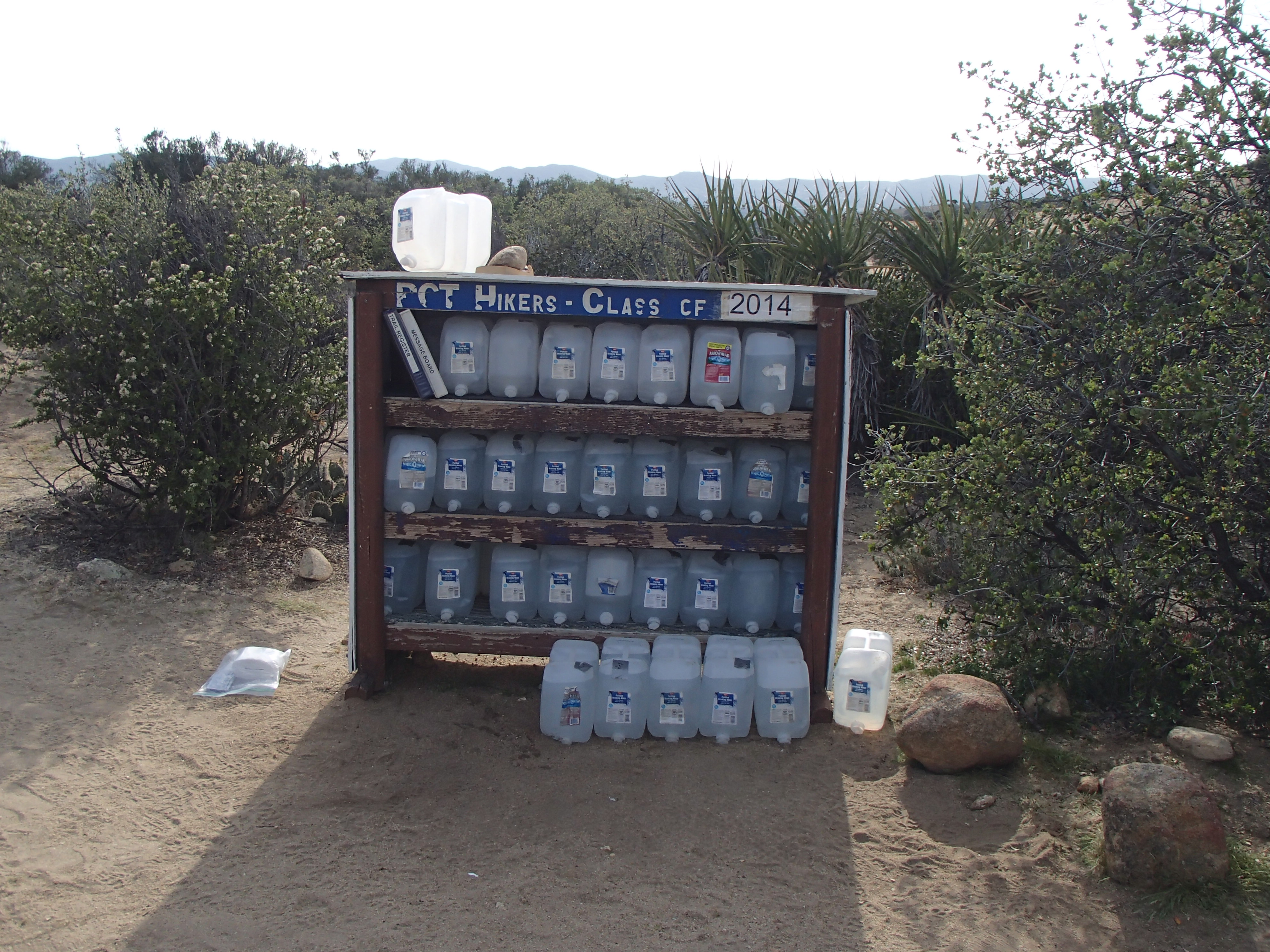
Below are a few photos leaving Warner Springs (breakfast at the Community Center) to Trail Angel Mike’s place.
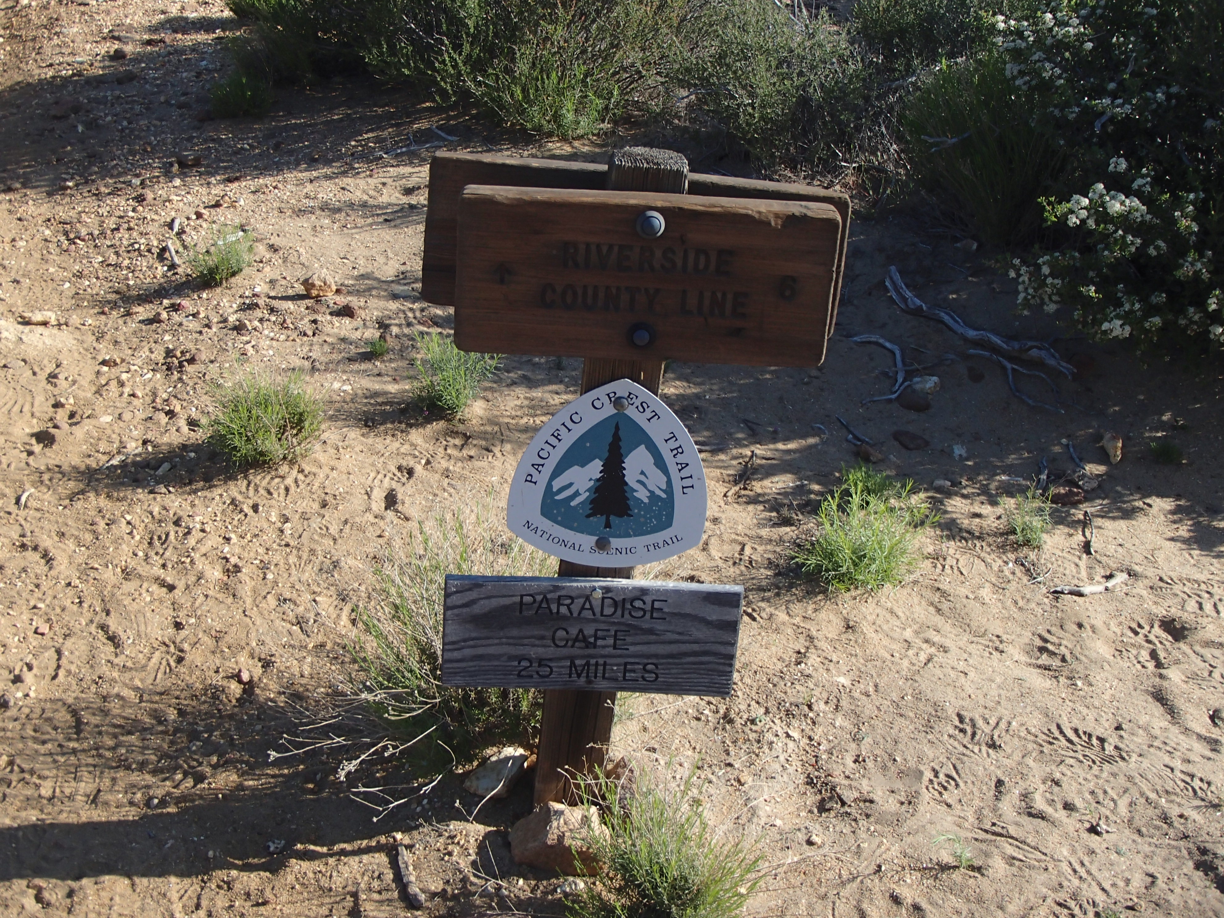
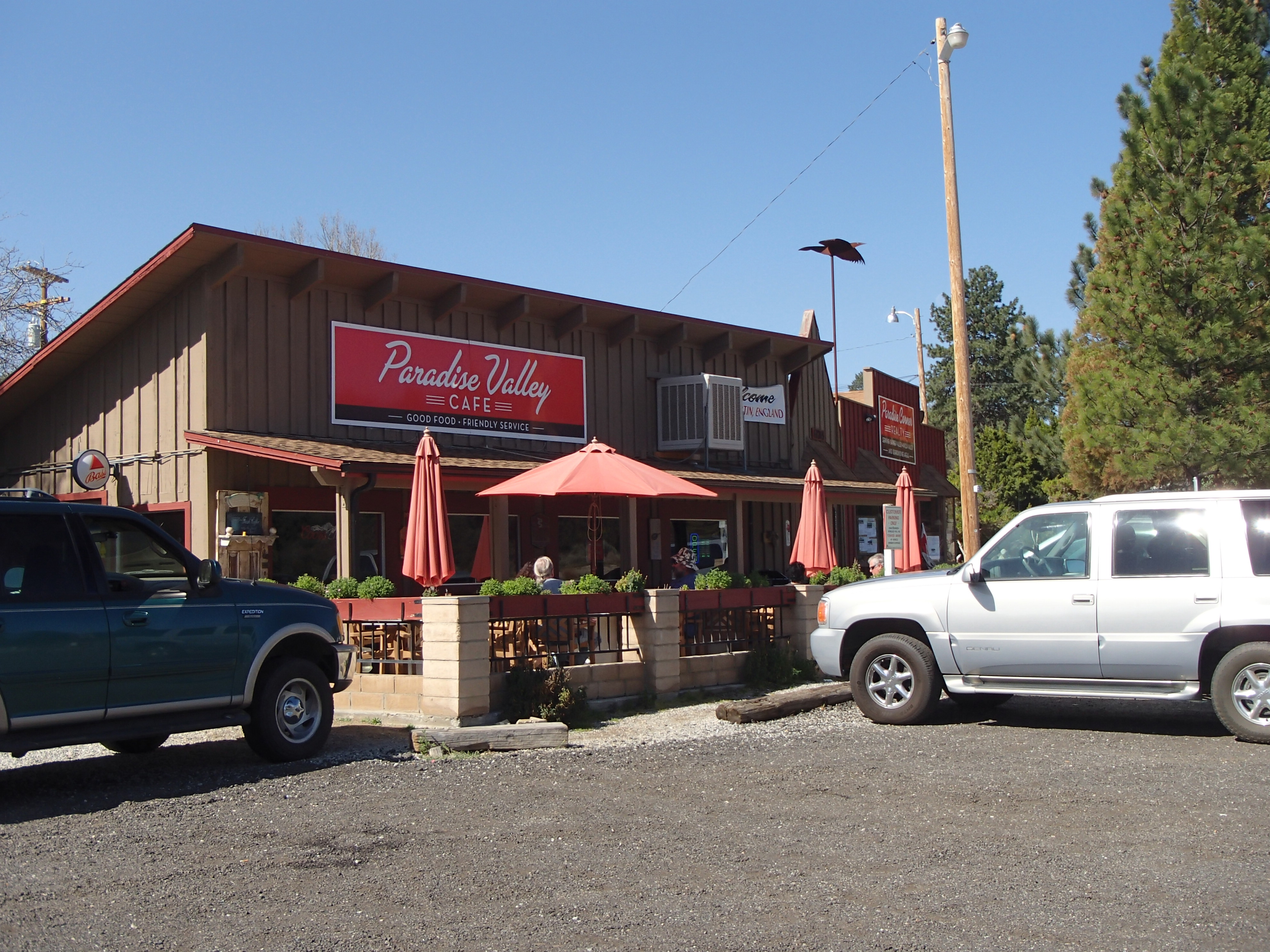
Photos from Trail Angel Mike’s place to the Paradise Valley Cafe
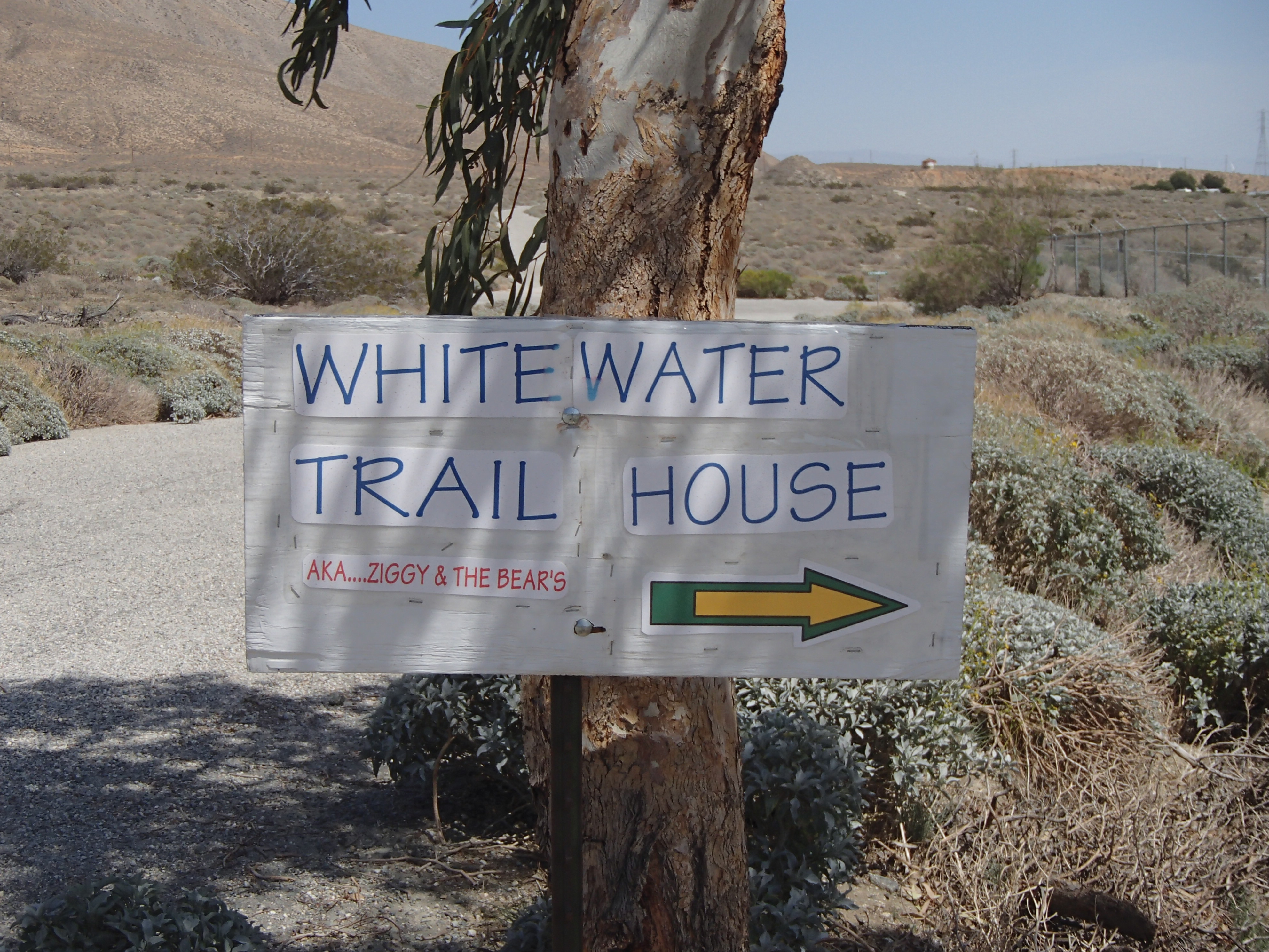
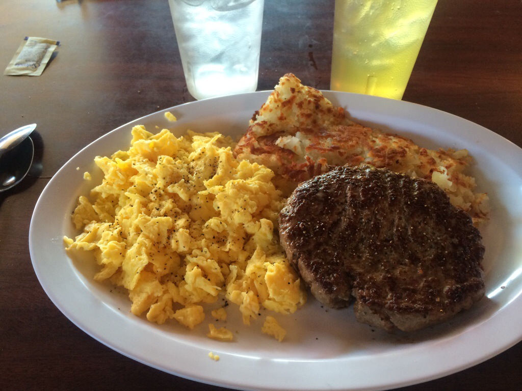
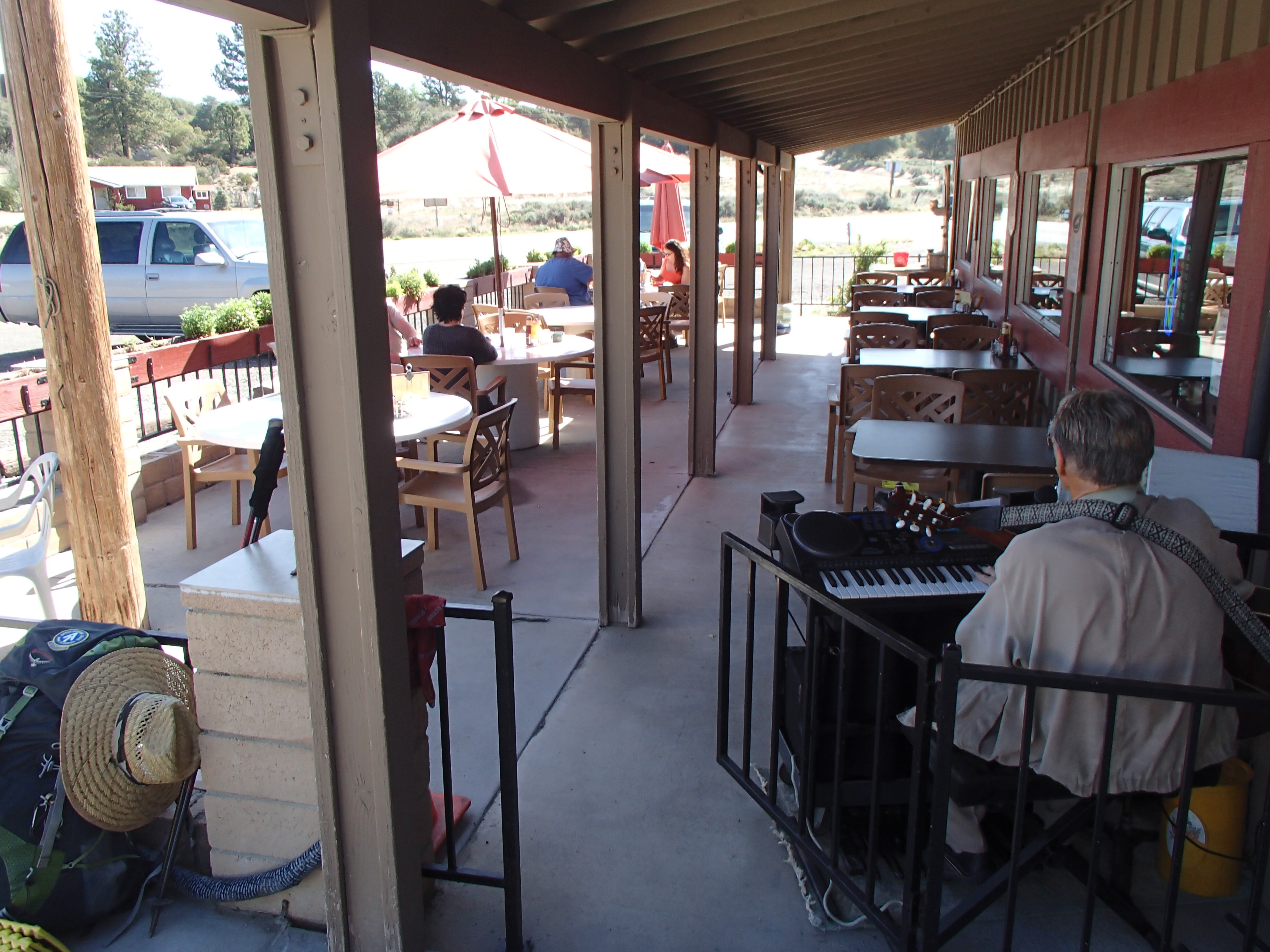
I had a great mid-morning breakfast with some Green Sweet Iced Tea and music at the Paradise Valley Cafe. It’s a one mile road walk from the trail. Whitewater – Moving On!
After doing sixteen miles today before noon (I started walking at 4:45 a.m. this morning), I made it into Warner Springs in time to get a burger (food first) and to use a computer to do a quick blog update, so we here we go!
After a wonderful breakfast with Mrs. Whitewater, I left Atlanta on Thursday the 10th and made it into San Diego shortly after 4:00 p.m. I was immediately greeted and picked up at the airport by Trail Angels Scout and Frodo (Barney and Sandy Mann).
Scout and Frodo are quite well-known for their hospitality to PCT thru hikers. They hosted over 250 hikers in 2013 alone. They help each hiker with a place to stay, meals and transportation to Campo and the trail head. Both Scout and Frodo thru-hiked the PCT in 2007 and they’ve been giving back to the trail ever since refusing any gifts or gratuities for their services.
Early on Friday morning April 11th, the crew from Scout and Frodo’s home took me and a number of other hikers down to the border at Campo in three different vehicles to begin the journey north.
Many thanks again to Scout and Frodo for everything you guys do for the hiking community. It’s greatly appreciated! What a fantastic way to start this journey!
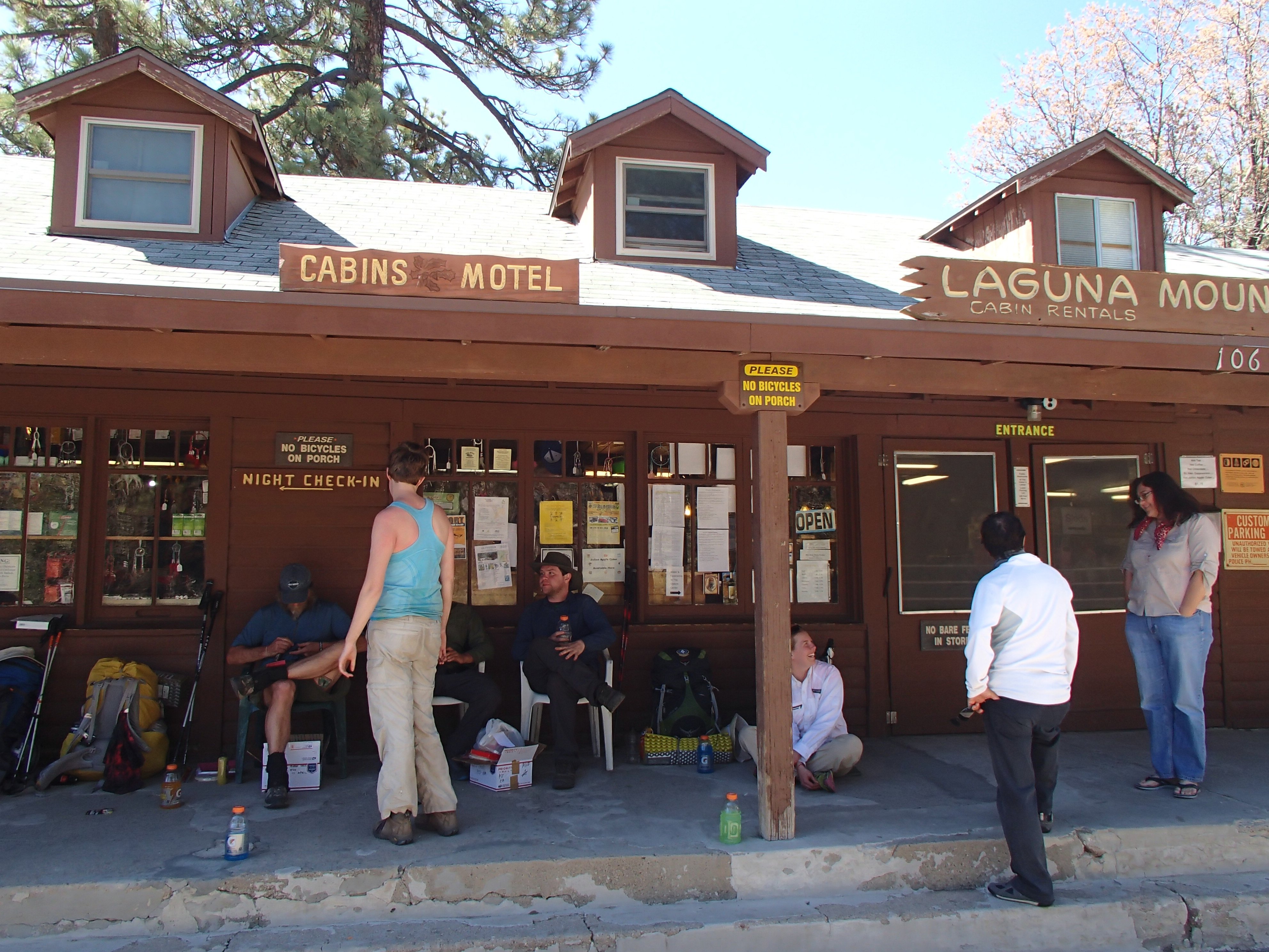
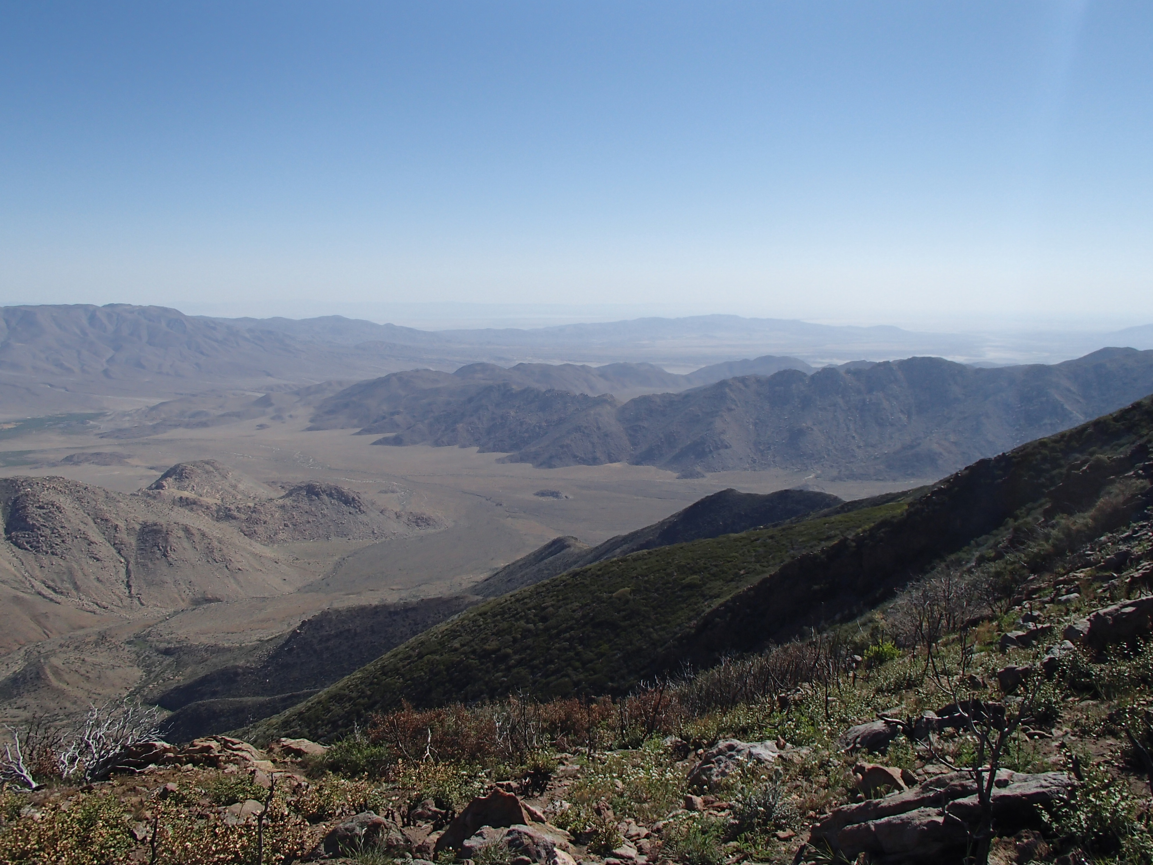
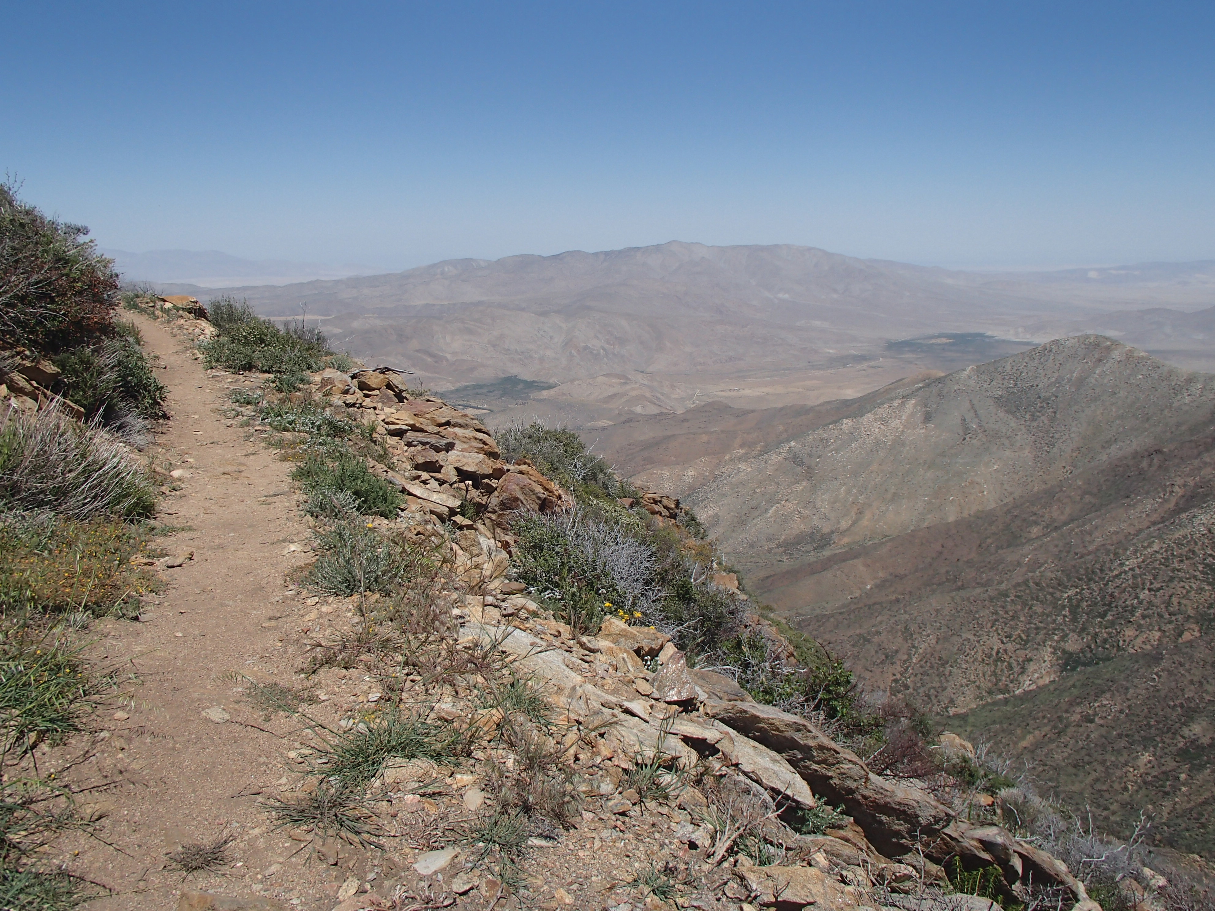
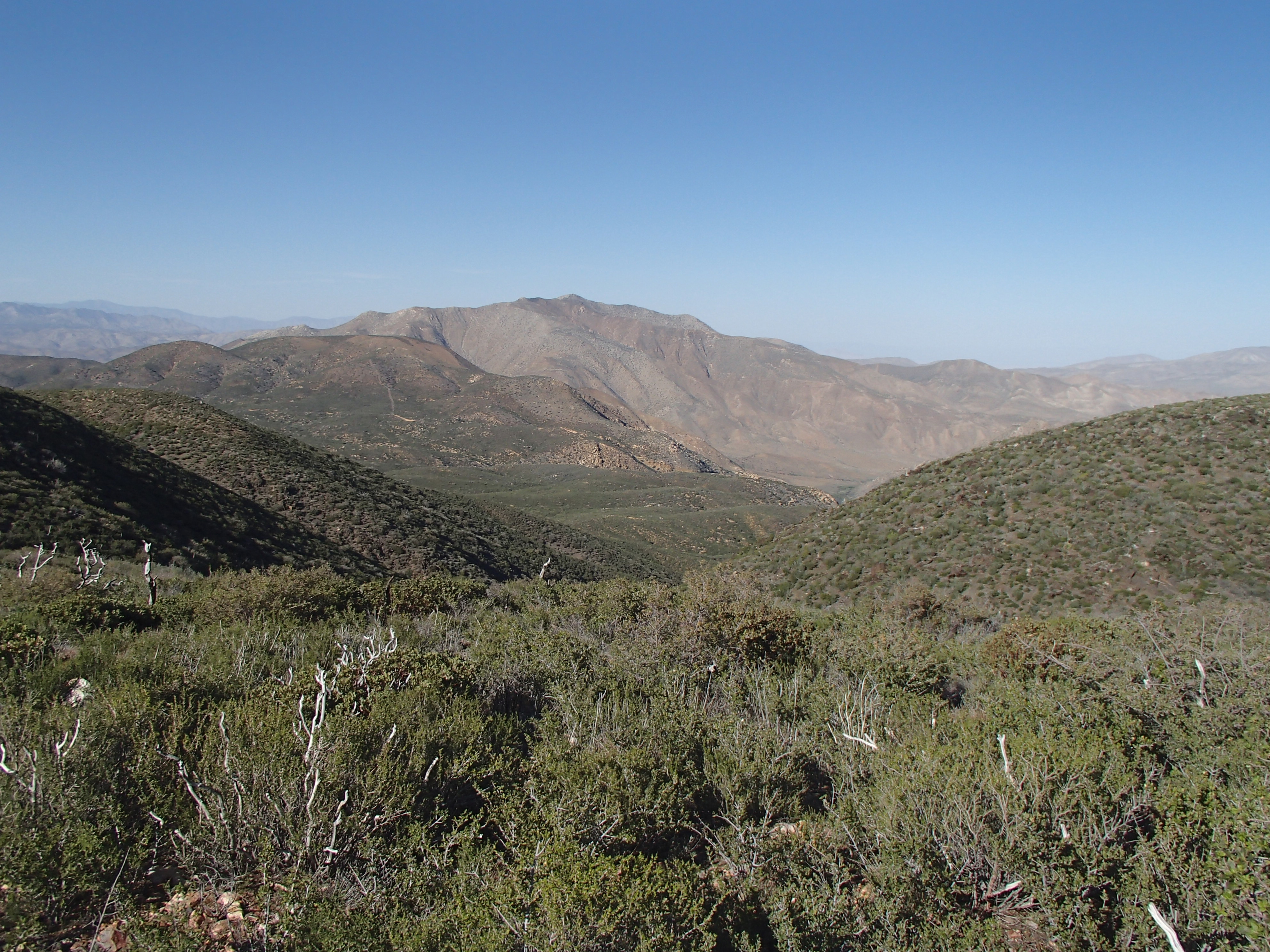
A few photos below from Campo to Mt. Laguna (mile 42)
Mt. Laguna to Julian (mile 77)
Julian to Warner Springs (mile 109)
I thought I knew what HOT was all about being from the South…but wow this desert sun is ROUGH!!
I’m headed to the Atlanta Airport this morning to catch my flight to San Diego, CA where I’ll spend one night near La Jolla and catch a ride early Friday morning to the Mexico Border and the southern terminus of the PCT to start my walk north to Canada.
I’ll try a do a blog update at least a couple times a month, but the map, trail stats, and the FollowMee link over in the margin area of my blog should get updated at least every couple of days.
Wow, I’ve had a really busy past couple of weeks visiting with friends and family saying bye for the summer. The good thing about that is, I’ve probably eaten twice the amount of food that I normally do, so the fat reserves are really built up. I have feeling that I’ll burn that off pretty quickly in just my first couple of weeks out on the trail. Anyway, many thanks to all my friends and family who have wished me well on my journey. It’s greatly appreciated!
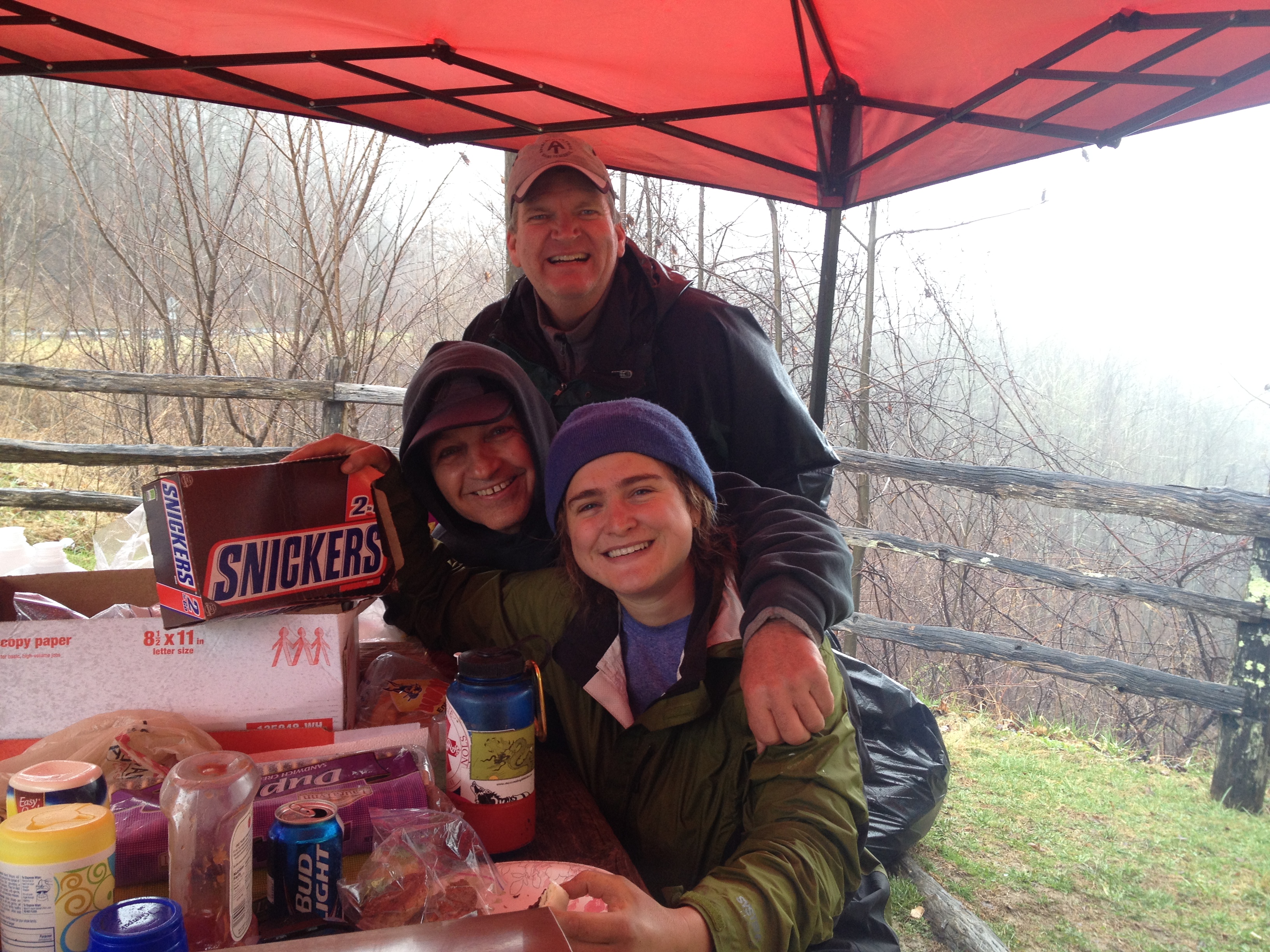
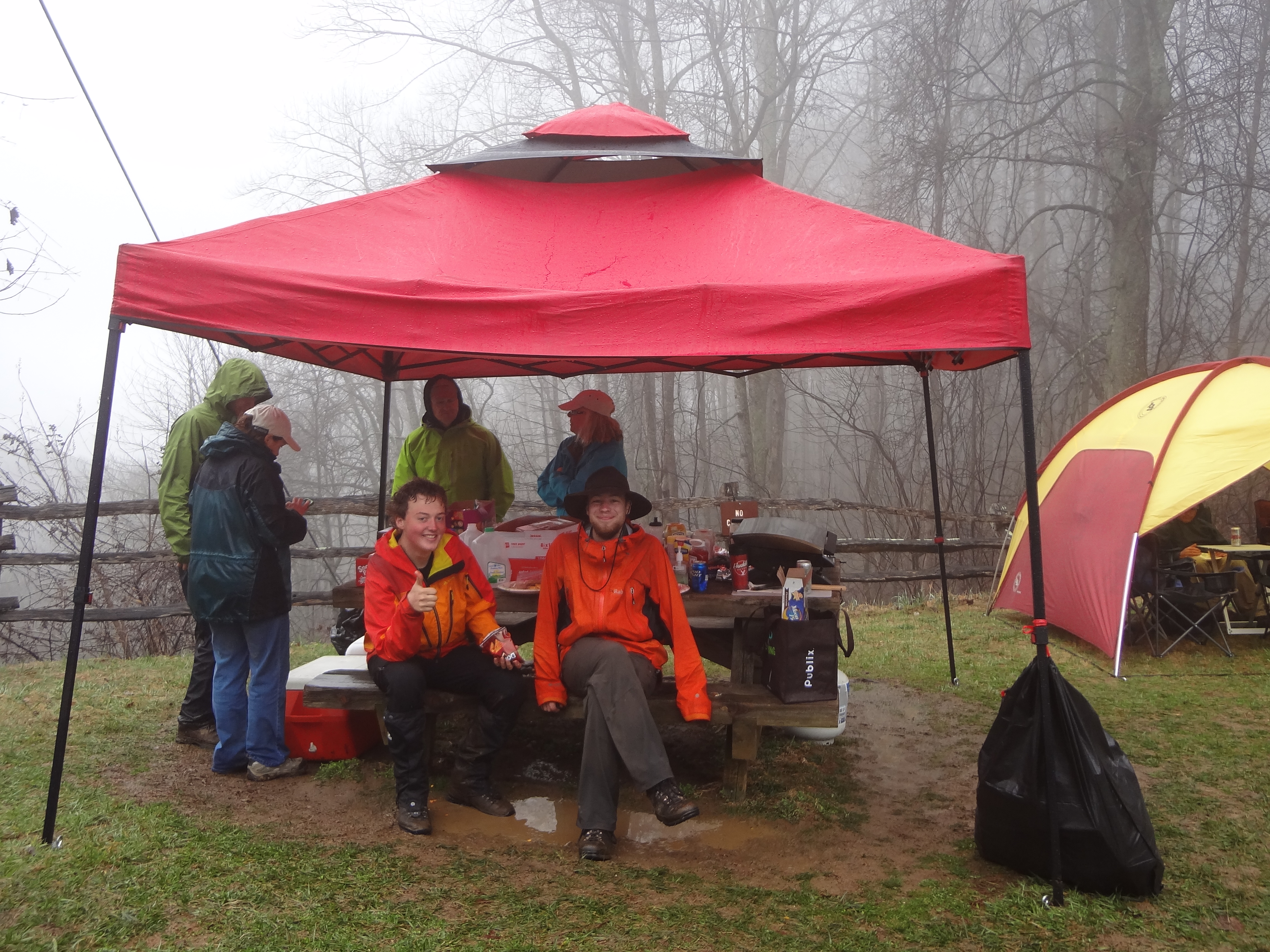
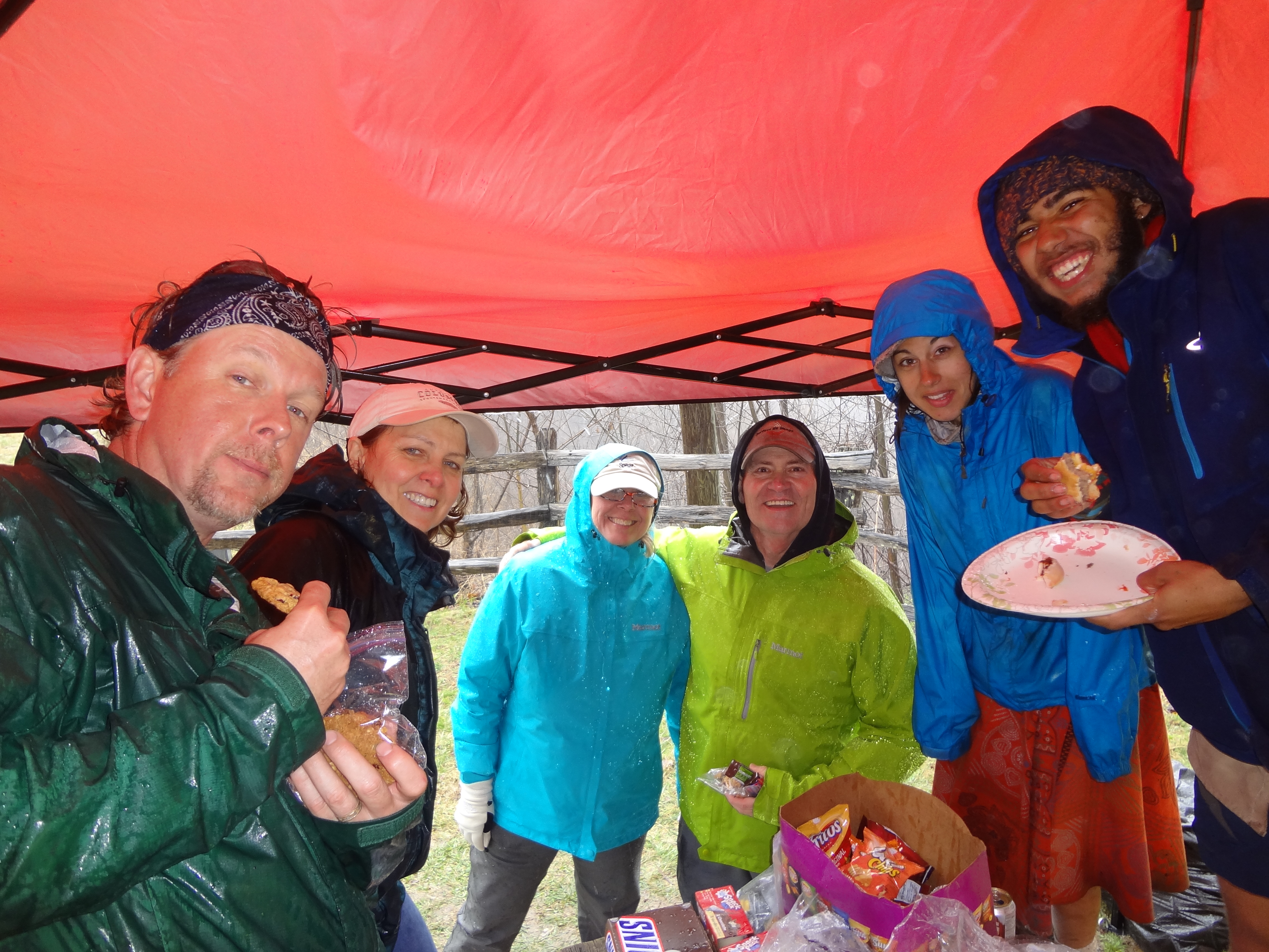
I had a great weekend doing some trail magic for the AT 2014 NOBOs with Joe Jackson (Video), Sue Carpenter and Mary Langford at Stecoah Gap in North Carolina. The weather was very comparable to our trail magic weekend last year, mostly rainy and wet, but I still can’t really think of a better way to start off the spring than feeding some dirty and muddy hiker trash. We cranked up the grill and fed burgers and hot dogs to some seventy plus hikers coming through the gap on their way to the Great Smoky Mountains. It was great meeting so many wonderful folks, young and old, heading north to Maine. I even know one of the hikers personally. Dan Maloy (Gray Ghost) and I have been business associates for many years. It has been fun following Dan as he keeps up his journal at: Gray Ghost’s 2014 Appalachian Trail Journal.
Good luck to all the 2014 NOBOs !! Enjoy the journey!!
Some fun weekend photos below:
Blue, Morrison, All Day, Cheesesteak, Young Gun, & Sole Power
Seymour & KoKo
J Rex, Mary, Ace, Sue, Mackerel, & Video
Koda & Safety
Listener & J Rex
Whitewater, Boucher, Swamp Donkey, All Day, Denali, Video, Dumpster, The Rock, & Maverick
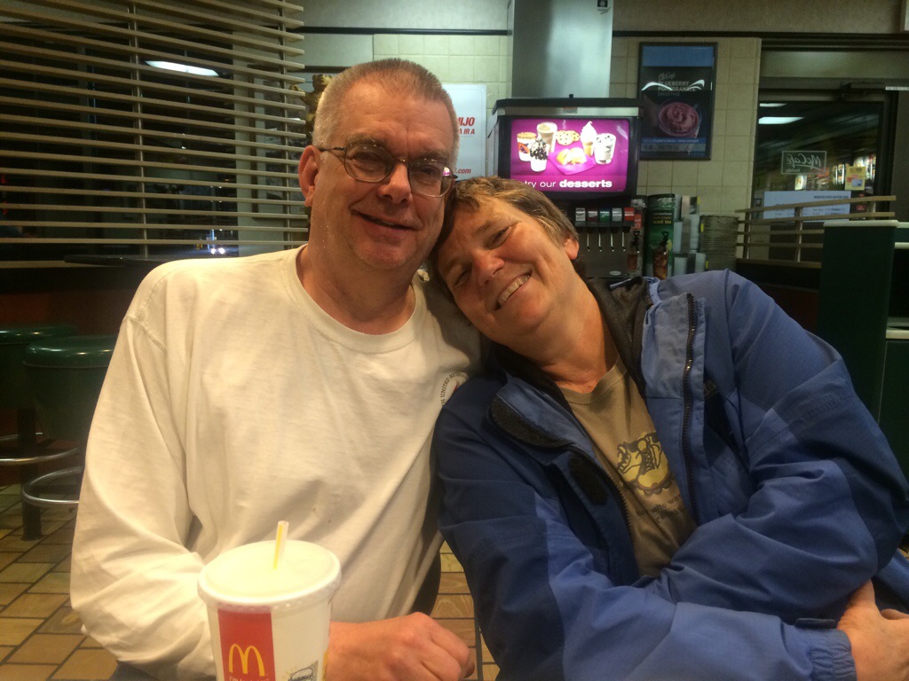
James, Whitewater, Mary (Mrs. Whitewater), Crazy Horse
Blondie, Big Dog, & Indiana Jones
Grizz & Pepper
Wet Dog & Rob
Whitewater, Video, and Lobster
Pyro & Fritz
Video, Gray Ghost, Sue & Mary
McGyver, Mary, Melissa & Rob (new trail angels this year), Joe Cool, & Forrest
OH WOW…things are coming together quickly now. The procrastination era is over and I’m less than a month out from starting my PCT thru-hike or at least the attempt there of. Currently, I’m only planning to do 10 resupply drops by mail. So the boxes are all packed and labeled. For the most part the food has been sorted out and distributed between the boxes based on the number of days until the next resupply town or mail drop. Below, but not cast in stone, is my hike plan. I personally like having a basic plan just so I know timing wise where I want to be and approximately when. If I start falling behind, I can push forward harder. Or if I’m way ahead, I can just enjoy that beautiful spot a little longer.
As I’ve mentioned before in a previous post, I’ve only made a couple of small changes in my gear list since hiking the Appalachian Trail and the Benton MacKaye Trail. Basically, what I often read on the internet and hear when hiking, is that people always love to tell you about their gear. These conversations tend to lead to some pretty heated discussions among hikers. Some folks can be pretty adamant that their way is the best way. All you have to do is look for a chat on the internet, like Whiteblaze, on a topic such as the use of a tent vs. a hammock to encounter many varied opinions. So here’s my very strong advice on gear, absolutely absorb as much information as you can and find a balance that works for you. It’s my opinion that most thru-hikers find a comfortable range between that of a minimalist and the conventional backpacker. The common saying…HYOH (Hike Your Own Hike) works best here! My response to questions about my gear is pretty much, ” this is what I find works for me”. I don’t care to get into an argument over gear. If it works for you, use it! Personally, I believe if there’s one good piece of equipment out there today, there are probably five more brands or styles that will work just as well.
Open Your Eyes You’re Almost There – The Muir Project
MY BRIEF THOUGHTS ON LIFE
It’s my feeling that the biggest part of life is all about the choices you make and if you’ve made some bad choices, which almost all of us have at some point, it helps to remember that tomorrow is a brand new day and you can always plot a new course to take. I try to stop dwelling on and judging the past and move forward with my future. As Kris Kristofferson wrote “Yesterday is dead and gone and tomorrow’s out of sight” …which, in my opinion, was best sung by Willie Nelson 🙂
Over the past several years, I would say the biggest remark that I often hear after someone finds out that I enjoy going on these very long hikes is number one: How do you get the time off and money to do that? Quickly followed by, I could never do that! I’ve grown pretty used to it and seem to always find myself looking for the cage that must be built around those individuals. I have a hard time understanding sometimes what people truly want from life. I clearly understand that some of the adventures that I enjoy are not for everyone, I get that, but I do see a lot of people out there stuck in the day-to-day grind of life who have dreams and desires, but never truly pursue them or seem to be waiting for a day that may never come. That’s very sad to me! Yes, we all have our responsibilities when it comes to family, careers, and businesses, I get that too, but if you’re willing to make some sacrifices, anyone can live out their dreams.
Like we’ve all heard many times before, Life is very short…so you better enjoy it! I think the Dalai Lama says it best when asked about man in our current culture today: “Man…. Because he sacrifices his health in order to make money. Then he sacrifices money to recuperate his health. And then he is so anxious about the future that he does not enjoy the present; the result being that he does not live in the present or the future; he lives as if he is never going to die, and then dies having never really lived.” ~ Dalai Lama XIV
Sitting here on this snowy day in the south, definitely not the norm for us around here, I thought it may be a great time to tell everyone more about what Trail Magic and Trail Angels are and what they do for Thru Hikers everywhere.
Trust me on this, all long distance hikers know what Trail Magic and Trail Angels are, but for those of you who don’t know about these fine folks, here’s a little insight on some human kindness that’s absolutely at it’s best, no matter how it arrives or how it happens.
First Trail Magic is always performed by a Trail Angel. What I usually find is that a Trail Angel almost always has some type of strong association with the trail. That association could be in the form of being a past Thru Hiker themselves, a day hiker, a care taker of the trail, a family member who has a loved one on the trail somewhere themselves, or just a local individual who enjoys what the hikers bring to their towns and communities. All of these Trail Angels volunteer their time, money and even open their homes to many hikers to help boost the spirits of those on the trail. These acts of Trail Magic come in many different forms from coolers of goodies found in the middle of the trail, to folks offering rides to smelly hikers, to cooking complete meals at trail and road intersections. Some of the local Trail Angels will even invite you back to their homes for a good home cooked meal, shower and comfortable bed to sleep in. I think all Thru Hikers have a super appreciation for Trail Angels and most of us aspire to give back to the trail someday as a Trail Angel ourselves.
Before I hit the PCT in mid April, Video and I plan once again to perform some Trail Magic ourselves for the class of 2014 AT Thru Hikers coming through Stecoah Gap in late March. Can’t wait!
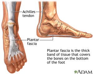
After my short winter hike on the Appalachian Trail during the holidays, I decided I couldn’t wait any longer to go to a podiatrist and get some help with my heel pain (planter fasciitis) that I’ve had since my AT thru hike in 2012. I’m pretty sure I have a fairly high tolerance to pain, but enough is enough, and the thought of trying to put up with this issue while hiking the PCT seemed pretty stupid! So off to the doctor I went. I think he took me seriously and is working hard to help me resolve my problem as quickly as possible. I’ve had x-rays, injections in both heels, a couple of different medications prescribed, stretching exercises to do daily, and molds made of my feet for some custom orthotics. This routine will continue over the next couple of months until I leave for San Diego in mid April to start my journey on the PCT.
A few facts on Planter Fasciitis:
Inflammation (irritation and swelling with presence of extra immune cells) of the plantar fascia can cause heel pain and make walking difficult. Some risk factors for development of this problem include foot arch problems (both flat foot and high arches), obesity, sudden weight gain, running and a tight Achilles tendon.
~MedlinePlus
The plantar fascia is a very thick band of tissue that covers the bones on the bottom of the foot. It extends from the heel to the bones of the ball of the foot and acts like a rubber band to create tension which maintains the arch of the foot. If the band is long it allows the arch of the foot to be low, which is most commonly known as having a flat foot. A short band of tissue causes a high arch. This fascia can become inflamed and painful in some people, making walking more difficult. ~MedlinePlus
On the gear and clothing front, I picked up a really cool straw hat for $10.00 at Bass Pro Shop the other day to start off my hike, hoping to do my best to shade myself and avoid as much sun as possible. Along with the hat, I also bought a new long sleeve Plaid Columbia Bahama fishing shirt to hike in to also help protect my arms from those hot desert UV rays.
I’m also debating whether or not to take my IPad Mini and the Lifeproof case I bought for it. It would be a great asset to have for reading, planning and blogging along the way, but the down side is that it’s total weight is pushing 19 oz. With the amount of water that I’ll be carrying through the desert, that’s a lot of additional weight for a luxury item. I’m hoping that over the next month or so I can get everything I need from a PCT guide stand point downloaded into PDF files and leave all the book stuff behind, which may save enough weight to justify carrying it. I’ve already downloaded all the Halfmile’s PCT maps, and converted Yogi’s trail tips and town guide to a PDF file and they both work great on my IPad Mini and IPhone. If I don’t carry my IPad mini from the start, I’ll probably have it sent to me after I make it out of the desert.
With the light snow this year in the High Sierra’s, I’m now planning to start a couple of weeks early. My start date is set now and I’m leaving Atlanta for San Diego on Thursday, April 10th and plan to begin hiking north on Saturday, April 12th.
I’m really getting excited to hit the trail again!
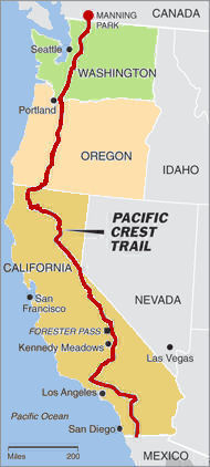
Well, the time has come for me to start making plans and preparing for my next big adventure, thru-hiking the Pacific Crest Trail (PCT) a path some 2,663 miles long beginning at the Mexico border and ending eight miles in Canada at Manning Park. It’s pretty hard to believe that I’m less than four months out from beginning another hike, starting in late April of this year. Can’t wait to venture up the west coast through areas that I’ve never visited before and I’m really looking forward to seeing. So what better way for me to see this part of the world other than hiking through it one step at a time.
It’s always fun going through my gear and making sure it’s all in good condition for another long journey. Of course, there’s always something new, gear wise, that I just can’t do without. The good news for me and from a pocket-book stand point, I don’t plan to make a lot of changes to my gear. The only real items I’m changing out will be my trekking poles and camp shoes. I just bought a new set of Black Diamond Ultra Mountain Carbon Trekking Poles. I’m hoping that they’ll work as well as my old Black Diamond Trail Shock poles did for me on the Appalachian Trail, but be lighter and more compact.
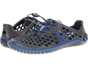
I’m also hanging up my Crocs and going with some super lightweight Vivobarefoot Men’s Ultra Pure Runners for my new camp and town shoes. Believe it or not, they’re a good bit lighter than Crocs and they should be able to be stored inside my pack with ease. I’m pretty excited about these super shoes for sure. I’m so tired of my old Crocs just hanging on the outside of my pack. These Vivobarefoot Ultra Pure Runners are “the lightest amphibious running shoe ever made for land, water and everything in between”. I’ll let you know if they live up to their advertised slogan.
I’ve bought plenty of books and trail guides to read and help prepare me for my PCT journey. My general impression right now is that there’s a lot more material to absorb on this trail from a logistics side than that of the Appalachian Trail. It should be fun developing a preliminary PCT hike plan for the coming year. My planning essentials are: gear, permits, food, resupply points, and finding a reliable support person on the home front. I’m pretty sure I’ll have those items covered pretty well. 🙂
To end my year, I again took to the trail for a few days of hiking with some good friends from my Appalachian Trail thru hike back in 2012. We hit the trail at Fox Creek, VA and hiked south towards Damascus, VA. Along the way we passed through some awesome areas, the Grayson Highlands, Mt. Rogers, Whitetop Mountain, Buzzard Rock, and the Virginia Creeper Trail. What a great winter hike it turned out to be! I enjoyed closing my year out in the wilderness with some really fine hiker trash friends.
The winter hiking gang below: Chainsaw, Matt, Dan, Duffer, Badger, Russell, and WW
Dan (future 2014 AT thru hiker) visiting with the wild ponies in the Grayson Highlands
Thomas Knob Shelter
Chainsaw, Badger and Duffer…Dan, Russell and Matt
Duffer at Buzzard Rock
I love finding fun PCT videos. They always help me keep inspired while I continue to plan for my PCT journey. Enjoy “Wizards of the PCT” trailer.
From both Mary and me, many thanks again to the fine folks and staff at both Moki Macand Small World Adventures for making our trip down the Colorado River an EPIC experience and one that won’t be forgotten for many years to come.
The following blog update was prepared and written by Mary Langford (Mrs. Whitewater) and was taken from her notes and journal entries that she kept along the way.
You will notice that we didn’t stop along the river to take photos running the many whitewater rapids along the way. However, I did have a helmet cam through a number of the fun whitewater sections. Below are two videos, one short one of just running Lava Falls and another one which lasts about twelve minutes that my friend, Brad Sanders, put together using the music from his band Jig Bone. Great job Brad…many thanks to him as well!
Best viewed if you change the YouTube setting to 720p HD quality. Enjoy!
Another great video from our trip was put together by Brent Laubaugh below:
Grand Canyon Kayak Trip – August 31st – September 13th, 2013
Sat 8/31
Day 1! We arrived at the ramp at Lee’s Ferry, an original 1870’s river crossing, happy to see that the Small World kayak group would be traveling with five small blue Moki Mac 18 foot paddle rafts instead of the huge ones with motors. After boarding the rafts and kayaks, and heading downriver under the Navajo Bridge, we quickly realized how deep and enormous the Grand Canyon really is and how small we were in relation to it. It didn’t take long to discover that the many side canyons that merge into the Grand Canyon, like Badger and Soap Creek, really muddied up the water and created all kinds of crazy rapids with waves going in every direction. Once we stopped at our first camp, a small one on the North Rim at Mile 19.2, we learned the “pack line process” of unloading the rafts. Soon we set up our tents, learned the proper “groover” (outdoor restroom) etiquette, and devoured a dinner of savory grilled salmon prepared by Jay, river guide and dinner chef. Darkness comes early in the canyon, so most of us were in bed by 8:00, especially after our early morning start and the excitement of the first day. Sunday, 9/1 We awoke to the morning call of “Hot Coffee!” by Bruce, one of our Moki Mac guides and the breakfast cook. It was our daily signal to start getting up, breaking down camp, and preparing for the day. Hot mugs of coffee from the weathered “cowboy coffeepot” and glimpses of the morning sunlight creeping into the canyon, made a delicious breakfast of hot eggs fresh off the griddle, bacon, grits, oatmeal, and fresh fruit taste even better. About ten miles downriver, we took our first hike up into Shinumo Wash. On the way, we learned about the spectacular sandstone and limestone formations and the gorgeous white Sacred Datura, more commonly known as “moonflowers”, which burst open in the moonlight and last for only one day. Late in the afternoon, we took a few minutes to stop and dip our heads into the cool, clear spring water flowing in on the side of the river before heading to camp at South Canyon near Mile 32. After setting up camp on the beach, we enjoyed a delicious dinner of grilled chicken and a grill “campfire” under the enormous sky full of twinkling stars.
Monday, 9/2
Our third day began with a stop at Redwall Cavern just a little over a mile downriver. Major John Wesley Powell, leader of the first expedition to explore the Grand Canyon in 1869, thought that this huge chamber carved out by the river could possibly seat up to 50,000 people. We soon learned that it was also a terrific place for a games of frisbee and had also been the site of several concerts by string quartets and other “less formal” musical groups traveling down the river. After viewing an ancient fossil imbedded in a rock near the entrance, we continued downstream through Marble Canyon and took a short walk up to see the remains Bert Loper’s boat and hear Larry, the former owner of Small World Adventures and our Moki Mac trip leader, share the stories of Bert’s adventures on the Colorado and fascinating tale of his final river trip. After lunch, we hiked up a narrow canyon and enjoyed a swim in a cool pool formed by a waterfall. We passed Saddle Canyon and stopped for the night at Lower Saddle Camp near mile 48. The evening began well with a jambalaya dinner, but the night brought a short rainstorm which send us scurrying to put the rainflys on our tents. As if the rain wasn’t enough excitement, a strong wind began to blow sending sand everywhere, blowing clothes off lines, and collapsing most of our tents. Eventually, the storm stopped, the tents were erected again and carefully staked down, and everyone settled back to sleep.
Tuesday, 9/3
The next day began slowly as we assessed the damage from the storms the night before. Our tents, sleeping bags, clothes, and hair were full of sand and grit. The worst casualty that occurred was that Guy, owner of Small World Adventures and one of our kayak leaders, was so busy checking on everyone else’s stuff, that his own tent blew down the river. Fortunately, Larry noticed his tent washed up on the river bank just as we began paddling downstream. Liam, a Small World employee and one of our kayak guides, rescued it, but waited until evening to surprise Guy with the good news. We paddled down through Nankoweap Rapid to the Nankoweap Canyon where we took a hot, sunny hike high above the river to see the ancient Puebloan granaries and enjoy a stunning view of the next several miles of river. After lunch, we had a peaceful afternoon paddling on a quiet stretch of river and then came to Kwagunt Rapid, 60 Mile Rapid, and the flowing in of the Little Colorado River. Larry told us that it was usually a clearer turquoise color, but today it was just as chocolate-brown and muddy as the main river. We pulled into camp at Carbon Creek just below Mile 65. After enjoying the world’s largest grilled pork chops, fresh spinach salad, steamed broccoli, and pasta, we sat and talked under a brilliant canopy of stars and enjoyed a peaceful night of rest listening to river running past our beach.
Wednesday, 9/4
After breakfast, some of the group left camp for a hike up into Carbon Canyon. It was a cool and shady walk to the back of the canyon, over the top of a rise, and down through an amazing notch canyon where we could see the North Rim of the Grand Canyon in the distance. Larry informed us that we could walk out of the canyon here and it would only take about 24 hours. No one took him up on his offer, though John considered it as his dreams of Las Vegas and a long, hot shower lingered in his mind. Later that morning, we took a short Park Service path through a hot, sandy beach area and up a dry hill to view some ancient Puebloan and Cohonina petro glyphs. We were rewarded with a terrific view down river toward Unkar Delta. Our afternoon paddle ended with Unkar Rapid. We camped just below it at Upper Rattlesnake Camp just above Mile 75. Fortunately, it did not live up to its name!
Thursday, 9/5
Our morning began with a series of big, fun rapids with continuous large waves, some with drops of 16-30 feet! Nevills (named for one of the first commercial river operators, Hance (after Captain John Hance- miner, rancher, storyteller and the South Rim’s first white settler, Sockdolager (an old timey word for a knockout punch), Grapevine, and 83 mile. We stopped for a canyon hike to a horizontal waterfall and relaxed in the sun for lunch on some of the oldest rock in the canyon, known as Vishnu Schist. The afternoon consisted of a stop at Phantom Ranch, the only development on the river, for fresh water, postcards, quick phone calls, snacks, drinks, and real restrooms. The Bright Angel Campground was not only full of campers, but also several deer snacking their way through it to the creek. David and I searched for one of his AT trail buddies, “Redman”, who was working in the Grand Canyon on a trail maintenance crew for NPS, but we discovered later that his crew had already left Phantom Ranch. The two of us reminisced about the our hike down the Bright Angel Trail 27 years ago, how we had watched the rafters from the bridge, and talked about how great it would be to kayak and raft down the river one day. It was exciting to realize that we were actually living our dream! Later, we conquered Horne Rapid and then stopped at Trinity Creek Camp just below Mile 92. After locating a tiny spot of shade to set up our tent in, we enjoyed a some hot soup and were privileged to hear Bruce share some poetry from Grand Canyon and Other Selected Poems, a book written by his dad, Amil Quayle, a former river guide and university professor. The canyon was slowly working its magic on us as we relaxed and enjoyed the stories of his dad’s and others past river trips. The calm moments didn’t last long because as the darkness fell, we were startled by a tiny nocturnal visitor. A little ringtail cat tiptoed right up to our chair circle looking for leftovers from dinner. This brave raccoon cousin was not the least bit afraid of us, as it scampered over and under our kitchen tables and ended up raiding our fruit supply during the night.
Friday, 9/6
This day was filled with lots of exciting whitewater. The morning brought Salt Creek, Granite, Boucher and Crystal Rapids. We stopped to scout Crystal down a short grassy trail to an overlook. Katie and I were not at all disappointed to find that we had missed seeing a rather large rattlesnake on the trail! Later we ran Tuna, Lower Tuna, all the Gems- Agate, Sapphire, Turquoise, Emerald, Ruby, and Serpentine and on to Bass Rapid. We hiked to another beautiful waterfall up Shinumo Creek, then ran the Shinumo, 110 Mile, Kakatai, and Waltenberg Rapids. After a cool and rainy afternoon, we pulled in to set up camp on the hills at Upper Garnet Camp, Mile 115. The sun coming out at dinner time was a welcome sight. Bocce ball, grilled catfish, and laughing at Doug’s crazy stories of his guns and kids kept us entertained through the evening.
Saturday, 9/7
After traveling just a couple of miles downriver, we stopped to hike up to Elves Chasm. Here, some of our group enjoyed jumping off waterfalls surrounded by soft hanging moss and ferns into deep pools of fresh, clear water. Later, we took a walk into Blacktail Canyon to see where a waterfall had once been and learn about and see the Great Unconformity, a place where erosion in the canyon has removed many layers of rock. It was amazing to see and touch rocks that were billions of years old! We continued around a huge curve in the river through Fossil, 128 Mile, Specter, Bedrock, and Dubendorff Rapids. Dubendorff was the most fun ride of the day. We set up camp in the rain at Talking Heads, about Mile 133, and were relieved to see that Larry was happy to try out his new rain tarp. We huddled under it and enjoyed tasty enchiladas, black beans, and rice for dinner.
Sunday, 9/8
Not long after we put on the river, we stopped to hike up a hill into Deer Creek Canyon. On the way, we passed by Deer Creek Falls and were treated to a spectacular views of the river below. We traveled on a ledge through beautiful layers of Tapeats Sandstone and soon reached “the patio”, a beautiful wide open area of flat rock divided by a gorgeous clear stream and shaded by numerous cottonwood trees. This area was definitely my favorite spot of the canyon so far! We continued on up into the lush Surprise Valley to view another waterfall, splash in a small, cool, clear creek, and enjoy our peanut butter sandwiches reclining on amazing rock chairs in the “Throne Room.” The afternoon brought sightings of bighorn sheep, rain, a cool breeze, and ended at camp at Above Olo Camp, Mile 146, and nice evening celebration of Jeanne’s birthday complete with a homemade birthday cake baked in the dutch oven by C’pher.
Monday, 9/9
We traveled downriver, stopping for a walk short into Matkatamiba, (nicknamed Matkat), Canyon where we pulled the rafts over and tied them up together in the very narrow opening. We hiked into this curvy, narrow canyon wading through deep pools of clear water, traversing the steep sides, through a tiny cave, into a wide open amphitheatre-like area where we huddled together to create a “butt dam” to stop the flow of water and then jumped up quickly to see it rush down the rocky ledges. We paddled through Matkatamiba, Upset, and Sinyala rapids and many calm stretches of water, where I even attempted to try my hand at rowing our raft (Katie confirmed that it was way harder than it looked!). We stopped for a brief walk up Havasu Creek which is usually a beautiful blue-green color, but due to the recent rains, it was as almost as muddy and brown as the Colorado. Our camp for the night was just past Mile 159 at Second Chance. We set up tents near a huge rock wall and enjoyed delicious grilled steaks for dinner and stories about previous river explorations. Not long after everyone had settled into bed for the night, a huge rainstorm blew down the canyon! Larry, Guy, and Liam jumped up to check on everyone and discovered a tremendous waterfall flowing off the canyon wall about 30 feet from our tents! Several people had to reposition their tents and sleeping areas, and fortunately most of our tents only took on a little moisture, but the noise of the rain and the giant waterfall kept us all awake for quite a while.
Tuesday, 9/10
After a bit of a slow start on a cool, damp morning due to the storms the night before, we took off down the river and stopped for a brief hike up Tuckup Canyon. We only went a short distance before encountering house size boulders that had washed downstream years ago. The river was calm and the “raft divas”, (the nickname the 4 women who rafted gave ourselves), spent the morning enjoying conversation with Bruce as he rowed. Later in the afternoon, we stopped just north of Prospect Canyon to scout the world famous Lava Falls Rapid. Larry took his raft down first, next came C’pher, one of our supply boat paddlers, followed by Bruce’s raft with the four ladies. The “divas” were all nervous, but ending up loving the exciting ride! We eddied out below and watched and cheered while Lynn, our other supply boat paddler, tackled the massive rapids. We all watched and waited while the kayakers stood on the cliffs above and made their plans. Soon, Jay and Kelly came down in the final raft and eddied out just past the biggest holes. Lynn, Jay, and Larry, who had walked back up to watch from the north shore, were prepared with throw ropes just in case any of the kayakers took an unplanned swim. Finally, along came the first five kayakers. Liam led the first group, followed by David, Doug, Brent, and John. Liam was flipped over right beside the first big hole, but quickly recovered and they all enjoyed an exciting run. After loud cheers, they also eddied out to watch the second group come down. Guy, Aries, Debbie, and last of all, Anders, made a terrific run with Debbie finding the cleanest line and Anders raising a celebratory paddle near the end only to be flipped over by a sneaky side wave. It was time to celebrate! We pulled in to Below Lower Lava Camp at Mile 179. Inspired by Lynn’s green wig & purple sequins, some of us came up with makeshift costumes and Jay’s amazing Pina Colada Party began! It was followed by a hamburger and hot dog cookout prepared by Larry and Guy. I don’t know if all river groups enjoy this kind of celebration after Lava, but we sure did! The laughter and campfire lasted even after dark on this special night!
Wednesday, 9/11
Just after the “Hot Coffee” call, we looked out to a very dark sky and were startled by a huge clap of thunder. Needless to say, we were in no hurry to get up and just waited out the early morning storm in our tents for a while. After eating breakfast in the still drizzling rain, we packed up and headed down the river. It was a wet, chilly morning, but we were lucky to see many amazing waterfalls pouring over the sides of the canyon walls. It pretty much rained all day, and after watching the helicopter from the Bar 10 Ranch come to pick up the rafters from another trip, some of the “divas” seriously considered flagging them down to head for a hot shower and a warm bed for the night. However, soon after we set up our tents around Mile 199 at Below Parashant Camp, the rain ended. Laundry, naps, baths, journal writing, reading, and bocce ball games filled the afternoon hours. The big red ants that Larry warned us about took advantage of our chair circle around their nest and bit both Karla and Katie. Lynn grilled some awesome ribs for dinner as we sat and enjoyed the clearing skies and a cool breeze blowing down through the canyon.
Thursday, 9/12
We were treated to the sight of the morning sun illuminating the canyon walls as we ate breakfast and prepared for the day. After checking in with Moki Mac on the satellite phone, Larry informed us that the Diamond Creek Road, which runs through the Hualapai Land, was washed out and they wouldn’t have time to have it repaired by Friday morning. At lunchtime, he spoke with Moki Mac again and made a plan for our group to paddle past Diamond Creek downriver an extra 12-13 miles. This was an exceptionally long day for all the paddlers, so we didn’t stop to hike at all, but rather continued on at a decent pace through 209 Mile Rapid, passing Pumpkin Springs, 217 Mile, Granite Springs , 224 Mile, Diamond Creek, Travertine, 232 Mile, 234 Mile, Bridge Canyon and Gneiss Canyon Rapids, in order to make camp before dark. We felt ourselves fortunate to have been able to extend our paddling trip through those beautiful canyons past Diamond Creek. We pulled in and set up camp on a high slope named Bridge City Camp just before Mile 239. It had been a long, tiring day, but we were rewarded with a spectacular sunset, an early glowing crescent moon, and a brilliant starry night. It was a little quieter than usual as everyone realized this would be our last night in the canyon. Sure, we were all ready for warm beds and showers, dry clothes, and moments without sand covering us, but it was still a little sad to think that our river adventure was about to end. We enjoyed a cool night’s sleep on our hilltop gazing at that amazing star-filled sky one last time.
Friday, 9/13
After hearing Bruce’s final call for “Hot Coffee”, we ate breakfast, packed up camp, and took several group photos before beginning our last miles on the beautiful, brown Colorado River. We paddled downriver about ten miles passing by the gorgeous Separation and Surprise Canyons until we were met by a huge jet boat. We pulled over to a muddy beach, loaded up 3 of the kayaks, all of the dry bags, and after rinsing our grungy feet the best we could, our group boarded the motorized craft. We said our goodbyes to Bruce, Jay, Lynn, C’pher, and Guy who were planning to use a small motor to help propel the five rafts loaded down with 7 kayaks down the next 40 miles to Pearce Ferry. The morning was warm and sunny as we motored down past Maxson and Jackson canyons, past the Hualapai territory, their boat docks, helicopter launch areas, and their famous Skywalk. We passed by Bat Cave where geologists once attempted to mine for fertilizer and experienced some algae caught in the motor which slowed our progress for a while. I don’t think anyone really minded the delay as we realized we were leaving the beautiful and ever-changing Grand Canyon and moving on into the Lake Mead area. Just a few miles later, Pam and Clair Quist of Moki Mac, met us at the Pearce Ferry Landing. We sadly told Larry goodbye and thanked him for the great trip. We broke into 2 groups -one headed for Las Vegas and the rest of us headed through Kingman to Peach Springs where our cars were waiting for us. Our river adventure had come to an end. We eagerly anticipated the pleasures of hot showers, sand free bodies, clean clothes, and comfortable beds, but it was with some regret that we left the mighty Colorado River and our trip down its amazing path through the magnificent Grand Canyon behind.